Cof Cymru: National Historic Assets of Wales · Wales
Outbuilding immediately SEof Nantddu farmhouse
Penybont, Powys, Wales
A Grade II listed building in Nantddu, Penybont, Powys, designated on 11 August 1993.
The record
- Designation
- Listed building, Grade II
- Broad class
- Agriculture and Subsistence
- Date of designation
- 11 August 1993
- Locality
- Nantddu
- Community
- Penybont
- Unitary authority
- Powys
- Country
- Wales
- Coordinates
- 52.24541, -3.29627
- Cadw reference
- 9324
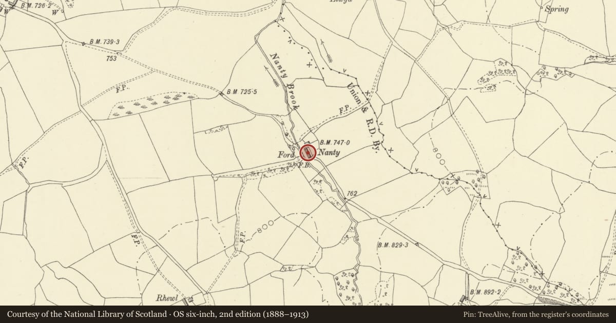
Slide toward Today to fade the historical sheet and see the modern map underneath.
David Rumsey Map Collection, Stanford LibrariesDavid Rumsey Map Collection, Stanford LibrariesDavid Rumsey Map Collection, Stanford LibrariesDavid Rumsey Map Collection, Stanford LibrariesDavid Rumsey Map Collection, Stanford Libraries
5 historical maps cover this location, the earliest the 1608 map "(13) Cambriae Typus." (David Rumsey Map Collection, Stanford Libraries).
Historical maps covering this location
- 1608 · (13) Cambriae Typus. (David Rumsey Map Collection, Stanford Libraries)
- 1637 · Particular description of Wales. Cambria seu Wallia (David Rumsey Map Collection, Stanford Libraries)
- 1883 · Watershed map England, Wales 3. (David Rumsey Map Collection, Stanford Libraries)
- 1899 · 180 Knighton (Hills) (David Rumsey Map Collection, Stanford Libraries)
- 1901 · Sheet 14. (David Rumsey Map Collection, Stanford Libraries)
Cadw's description
History
Possibly C16 in origin.
Exterior
The range includes C18 cowhouses at the S end, remains of a 4-bay cruck barn in the centre and a C19 stable at the north end. Nothing survives of the original wall-framing, the walls are now made up variously of rubble stone, brick, studwork and weatherboarding. Tin roof, external steps to granary loft and north end. Two eaves-height, double door entry bays, 5 split boarded doors and a modern gated bay.
Interior
Three full cruck trusses survive together with attached wallposts. Tie-beam and collar with lap joints, notched collar, butted apex, broad ridge. Slots for three tiers of trenched purlines. The tie-beam is tenoned into the wall posts and the base of the post is pegged onto the backs of the cruck blades. The S truss was once infilled. Carpenter' marks are evident and the trusses are also numbered, although not in sequence. The barn is now used as a cowhouse with boarded stalling and a feeding passage.
Reason for designation
Group value with house.
Nearby in the register
- NantdduDomesticunder 1 mi
- Upper Graig (Old House)Domesticunder 1 mi
- Outbuilding range 30m SW of GraigAgriculture and Subsistence1 mi
- GraigDomestic1 mi
Other entries of the same register within about three miles of this one, by straight line.