Cof Cymru: National Historic Assets of Wales · Wales
Former Stable/Granary lying 20m E of Vron Farmhouse
New Radnor, Powys, Wales
A Grade II listed building in Vron, New Radnor, Powys, designated on 29 April 1993.
The record
- Designation
- Listed building, Grade II
- Broad class
- Domestic
- Date of designation
- 29 April 1993
- Locality
- Vron
- Community
- New Radnor
- Unitary authority
- Powys
- Country
- Wales
- Coordinates
- 52.23080, -3.18200
- Cadw reference
- 9272
Slide toward Today to fade the historical sheet and see the modern map underneath.
David Rumsey Map Collection, Stanford LibrariesDavid Rumsey Map Collection, Stanford LibrariesDavid Rumsey Map Collection, Stanford LibrariesDavid Rumsey Map Collection, Stanford LibrariesDavid Rumsey Map Collection, Stanford Libraries
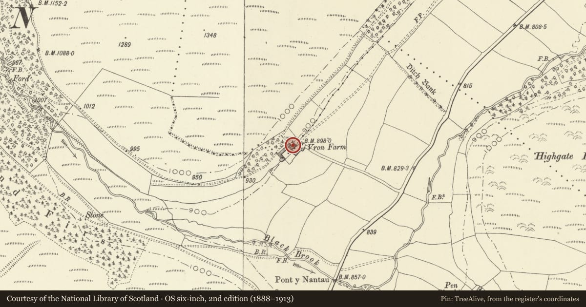
5 historical maps cover this location, the earliest the 1608 map "(13) Cambriae Typus." (David Rumsey Map Collection, Stanford Libraries).
Historical maps covering this location
- 1608 · (13) Cambriae Typus. (David Rumsey Map Collection, Stanford Libraries)
- 1636 · Cornubia : Devonia, Somersetus, Dorcestria, Wiltonia, Glocestria ... (David Rumsey Map Collection, Stanford Libraries)
- 1637 · Particular description of Wales. Cambria seu Wallia (David Rumsey Map Collection, Stanford Libraries)
- 1883 · Watershed map England, Wales 3. (David Rumsey Map Collection, Stanford Libraries)
- 1901 · Sheet 14. (David Rumsey Map Collection, Stanford Libraries)
Cadw's description
Exterior
C19, two storeys, coursed rubble, half hipped slate iron roof. Large gabled dormer with pitching opening to centre of east front. Openings with cambered voussoir heads, boarded doors and shutters. Rubble stone external steps at north end. Good quality beams and floorboards. Interrupted tie-beam trusses with long raking braces from collar to floor beam. Plank-lined corn bins in loft.
Reason for designation
Group value with the farmhouse and other outbuildings.
Nearby in the register
- Cowhouses lying 25m NE of Vron FarmhouseAgriculture and Subsistenceunder 1 mi
- Vron FarmhouseDomesticunder 1 mi
- Barn lying at right-angles to SW end of Vron FarmhouseAgriculture and Subsistenceunder 1 mi
- Milestone in Grass Verge about 250m SW of Pont-y-NantauTransportunder 1 mi
Other entries of the same register within about three miles of this one, by straight line.