Cof Cymru: National Historic Assets of Wales · Wales
Woodside Cottage
Old Radnor, Powys, Wales
A Grade II listed building in Evenjob, Old Radnor, Powys, designated on 15 February 1993.
The record
- Designation
- Listed building, Grade II
- Broad class
- Domestic
- Date of designation
- 15 February 1993
- Locality
- Evenjob
- Community
- Old Radnor
- Unitary authority
- Powys
- Country
- Wales
- Coordinates
- 52.26083, -3.06658
- Cadw reference
- 9173
Slide toward Today to fade the historical sheet and see the modern map underneath.
David Rumsey Map Collection, Stanford LibrariesDavid Rumsey Map Collection, Stanford LibrariesDavid Rumsey Map Collection, Stanford LibrariesDavid Rumsey Map Collection, Stanford LibrariesDavid Rumsey Map Collection, Stanford Libraries
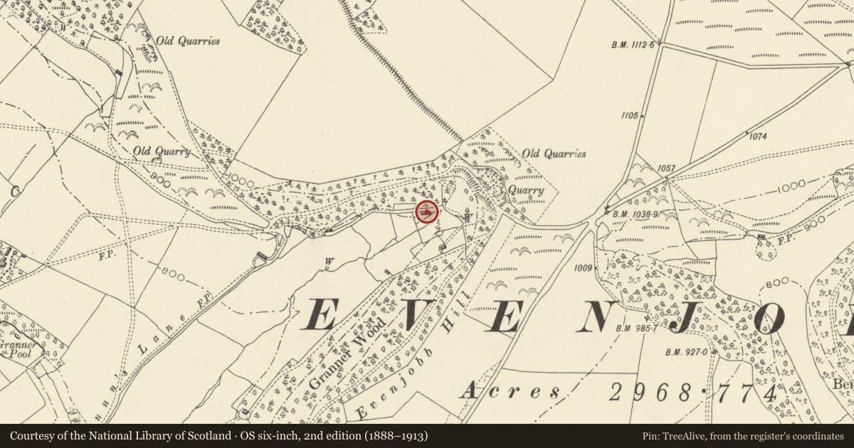
5 historical maps cover this location, the earliest the 1608 map "(13) Cambriae Typus." (David Rumsey Map Collection, Stanford Libraries).
Historical maps covering this location
- 1608 · (13) Cambriae Typus. (David Rumsey Map Collection, Stanford Libraries)
- 1637 · Particular description of Wales. Cambria seu Wallia (David Rumsey Map Collection, Stanford Libraries)
- 1883 · Watershed map England, Wales 3. (David Rumsey Map Collection, Stanford Libraries)
- 1899 · 180 Knighton (Hills) (David Rumsey Map Collection, Stanford Libraries)
- 1901 · Sheet 14. (David Rumsey Map Collection, Stanford Libraries)
Cadw's description
Location
In remote location at Lower Dunn's Plantation about 1km NE of Evenjobb centre.
Exterior
Early C19, one-and-a-half storey, single pile cottage with painted rubble, slate roof, huge rubble stack with offsets to right gable end, brick end stack to later C19 addition to left. Blank rear elevation, small timber casements to front, ground floor windows under brick cambered heads. Boarded door, modern rendered porch and end wall lean-to.
Reason for designation
Included as unaltered example of late vernacular cottage dwelling.
Nearby in the register
- Castle RingEnclosureunder 1 mi
- Mound & Bailey Castle 360m ESE of St Peter's ChurchMotteunder 1 mi
- Cowshed/Stable Range to NW of Upper HouseDomesticunder 1 mi
- Upper HouseDomesticunder 1 mi
Other entries of the same register within about three miles of this one, by straight line.