Cof Cymru: National Historic Assets of Wales · Wales
29 Market Street
Knighton, Powys, Wales
A Grade II listed building in Knighton, Powys, designated on 30 September 1985.
The record
- Designation
- Listed building, Grade II
- Broad class
- Domestic
- Date of designation
- 30 September 1985
- Community
- Knighton
- Unitary authority
- Powys
- Country
- Wales
- Coordinates
- 52.34443, -3.05419
- Cadw reference
- 9008
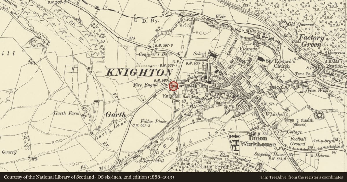
Slide toward Today to fade the historical sheet and see the modern map underneath.
David Rumsey Map Collection, Stanford LibrariesDavid Rumsey Map Collection, Stanford LibrariesDavid Rumsey Map Collection, Stanford LibrariesDavid Rumsey Map Collection, Stanford LibrariesDavid Rumsey Map Collection, Stanford Libraries
5 historical maps cover this location, the earliest the 1608 map "(13) Cambriae Typus." (David Rumsey Map Collection, Stanford Libraries).
Historical maps covering this location
- 1608 · (13) Cambriae Typus. (David Rumsey Map Collection, Stanford Libraries)
- 1637 · Particular description of Wales. Cambria seu Wallia (David Rumsey Map Collection, Stanford Libraries)
- 1883 · Watershed map England, Wales 3. (David Rumsey Map Collection, Stanford Libraries)
- 1899 · 180 Knighton (Hills) (David Rumsey Map Collection, Stanford Libraries)
- 1901 · Sheet 14. (David Rumsey Map Collection, Stanford Libraries)
Cadw's description
Location
At junction with Penybont Road and Offa's Road. Forward to the street from the adjoining houses on left.
Exterior
Early C18 2-storey, 4-window whitewashed rubble and part rendered front. Slate roof, boxed eaves, roughcast chimney stack to rear pitch. 4- and 6-pane casement windows (1 blocked opening to ground floor right). Lean-to slate roofed porch to No 29 in centre, hipped lean-to to No 30 at left (shared with No 31) Boarded garage entrance at right. Corrugated iron and rubble right elevation, brick to rear with corrugated iron to part of rear pitch.
Interior
Exposed timbers visible internally with simple roof construction.
Reason for designation
Group value.
Nearby in the register
- 30 Market StreetDomesticunder 1 mi
- Old Fire StationCivilunder 1 mi
- 31 Market StreetDomesticunder 1 mi
- 32 Market StreetDomesticunder 1 mi
Other entries of the same register within about three miles of this one, by straight line.