Cof Cymru: National Historic Assets of Wales · Wales
21 Market Street
Knighton, Powys, Wales
A Grade II listed building in Knighton, Powys, designated on 30 September 1985.
The record
- Designation
- Listed building, Grade II
- Broad class
- Domestic
- Date of designation
- 30 September 1985
- Community
- Knighton
- Unitary authority
- Powys
- Country
- Wales
- Coordinates
- 52.34464, -3.05336
- Cadw reference
- 9007
Slide toward Today to fade the historical sheet and see the modern map underneath.
David Rumsey Map Collection, Stanford LibrariesDavid Rumsey Map Collection, Stanford LibrariesDavid Rumsey Map Collection, Stanford LibrariesDavid Rumsey Map Collection, Stanford LibrariesDavid Rumsey Map Collection, Stanford Libraries
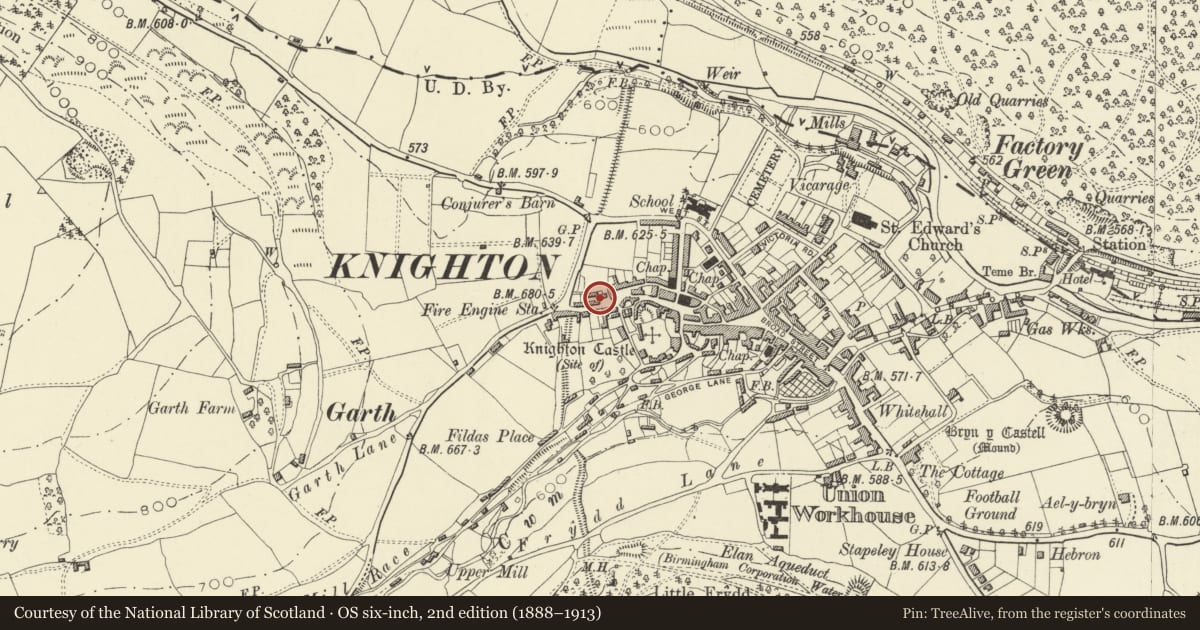
5 historical maps cover this location, the earliest the 1608 map "(13) Cambriae Typus." (David Rumsey Map Collection, Stanford Libraries).
Historical maps covering this location
- 1608 · (13) Cambriae Typus. (David Rumsey Map Collection, Stanford Libraries)
- 1637 · Particular description of Wales. Cambria seu Wallia (David Rumsey Map Collection, Stanford Libraries)
- 1883 · Watershed map England, Wales 3. (David Rumsey Map Collection, Stanford Libraries)
- 1899 · 180 Knighton (Hills) (David Rumsey Map Collection, Stanford Libraries)
- 1901 · Sheet 14. (David Rumsey Map Collection, Stanford Libraries)
Cadw's description
Location
Detached and set back at the corner of the wide part of Market Street opposite the Plough Hotel.
History
Late C18/early C19
Exterior
2-storey 3-window roughcast front with end pilaster strips to structure with probable earlier origins. Hipped slate roof, wide eaves, 1 brick stack. 16-pane sash windows with moulded architraves, flush to front. Entrance to left of centre, boarded door with bulls eye light under hood with curved brackets- further door to left with plain cornice and fluted pilasters. Lean-to with one window to left.
Nearby in the register
- Water HouseDomesticunder 1 mi
- The Harp (formerly The Police Station)Commercialunder 1 mi
- 35 Market StreetDomesticunder 1 mi
- 34 Market StreetDomesticunder 1 mi
Other entries of the same register within about three miles of this one, by straight line.