Cof Cymru: National Historic Assets of Wales · Wales
Narrows Grill
Knighton, Powys, Wales
A Grade II listed building in Knighton, Powys, designated on 30 September 1985.
The record
- Designation
- Listed building, Grade II
- Broad class
- Commercial
- Date of designation
- 30 September 1985
- Community
- Knighton
- Unitary authority
- Powys
- Country
- Wales
- Coordinates
- 52.34420, -3.05098
- Cadw reference
- 8998
Slide toward Today to fade the historical sheet and see the modern map underneath.
David Rumsey Map Collection, Stanford LibrariesDavid Rumsey Map Collection, Stanford LibrariesDavid Rumsey Map Collection, Stanford LibrariesDavid Rumsey Map Collection, Stanford LibrariesDavid Rumsey Map Collection, Stanford Libraries
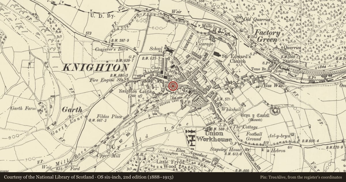
5 historical maps cover this location, the earliest the 1608 map "(13) Cambriae Typus." (David Rumsey Map Collection, Stanford Libraries).
Historical maps covering this location
- 1608 · (13) Cambriae Typus. (David Rumsey Map Collection, Stanford Libraries)
- 1637 · Particular description of Wales. Cambria seu Wallia (David Rumsey Map Collection, Stanford Libraries)
- 1883 · Watershed map England, Wales 3. (David Rumsey Map Collection, Stanford Libraries)
- 1899 · 180 Knighton (Hills) (David Rumsey Map Collection, Stanford Libraries)
- 1901 · Sheet 14. (David Rumsey Map Collection, Stanford Libraries)
Cadw's description
Location
An exceptionally large building with frontages stepping downhill; divided into four with houses over shops.
History
C17 with C18 and C19 additions and modern renovations. Former Salutation Inn with wine vaults below, also once property of (and possibly built by) Duke of Chandos.
Exterior
No 19 - casement windows to 2nd floor, 4-pane sashes to 1st floor with moulded architraves. C19 double shop front below, bracketed overall hood, glazed and panelled door, brick base.
Much altered rear elevation with low cross gable to left, modern box dormers with one recessed towards right end. Brick stack to centre of roof pitch.
Reason for designation
Group value.
Nearby in the register
- R.K. BrightCommercialunder 1 mi
- Narrows Pottery ShopCommercialunder 1 mi
- FrancisCommercialunder 1 mi
- 9 & 9A (Molly's Cottage)Commercialunder 1 mi
Other entries of the same register within about three miles of this one, by straight line.