Cof Cymru: National Historic Assets of Wales · Wales
Manor House
Knighton, Powys, Wales
A Grade II listed building in Knighton, Powys, designated on 30 September 1985.
The record
- Designation
- Listed building, Grade II
- Broad class
- Domestic
- Date of designation
- 30 September 1985
- Community
- Knighton
- Unitary authority
- Powys
- Country
- Wales
- Coordinates
- 52.34467, -3.04941
- Cadw reference
- 8979
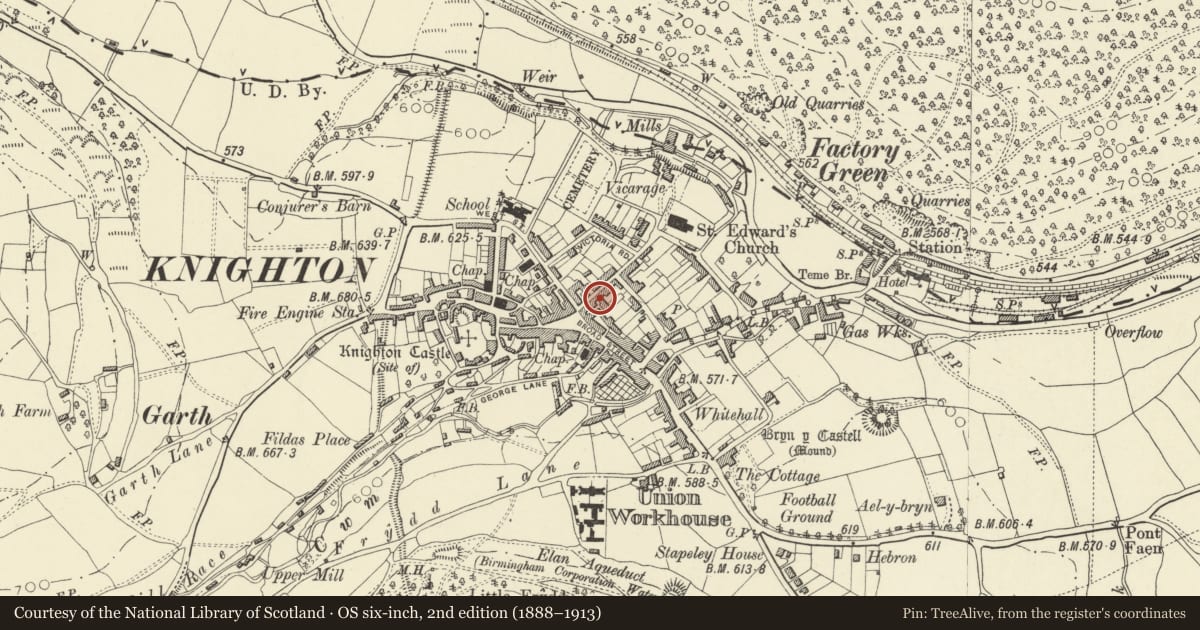
Slide toward Today to fade the historical sheet and see the modern map underneath.
David Rumsey Map Collection, Stanford LibrariesDavid Rumsey Map Collection, Stanford LibrariesDavid Rumsey Map Collection, Stanford LibrariesDavid Rumsey Map Collection, Stanford LibrariesDavid Rumsey Map Collection, Stanford Libraries
5 historical maps cover this location, the earliest the 1608 map "(13) Cambriae Typus." (David Rumsey Map Collection, Stanford Libraries).
Historical maps covering this location
- 1608 · (13) Cambriae Typus. (David Rumsey Map Collection, Stanford Libraries)
- 1637 · Particular description of Wales. Cambria seu Wallia (David Rumsey Map Collection, Stanford Libraries)
- 1883 · Watershed map England, Wales 3. (David Rumsey Map Collection, Stanford Libraries)
- 1899 · 180 Knighton (Hills) (David Rumsey Map Collection, Stanford Libraries)
- 1901 · Sheet 14. (David Rumsey Map Collection, Stanford Libraries)
Cadw's description
Location
Part of a continuous row of frontages.
Exterior
Early to mid C18 2-storey and basement roughcast front to earlier structure. Steep slate roof with coved eaves. 4+1 windows wide, sashes with wide glazing bars and timber surrounds in segmental arched recesses to first floor. Moulded architraves to ground floor windows. Open pedimented doorpiece to centre of front with architraves and curved brackets, recessed 4-panel door. Later window to right on 1st floor over yard entrance with boarded doors.
Interior
Interior retains C19 dog-legged staircase with wave moulded banisters.
Nearby in the register
- Prince & Pugh LtdCommercialunder 1 mi
- Stars News Shop LtdCommercialunder 1 mi
- Florist & C.B.PrintCommercialunder 1 mi
- 10 Church StreetDomesticunder 1 mi
Other entries of the same register within about three miles of this one, by straight line.