Cof Cymru: National Historic Assets of Wales · Wales
Cromwell Cottage
Presteigne, Powys, Wales
A Grade II listed building in Presteigne, Powys, designated on 28 November 1950.
The record
- Designation
- Listed building, Grade II
- Broad class
- Domestic
- Date of designation
- 28 November 1950
- Community
- Presteigne
- Unitary authority
- Powys
- Country
- Wales
- Coordinates
- 52.27229, -3.00492
- Cadw reference
- 8867
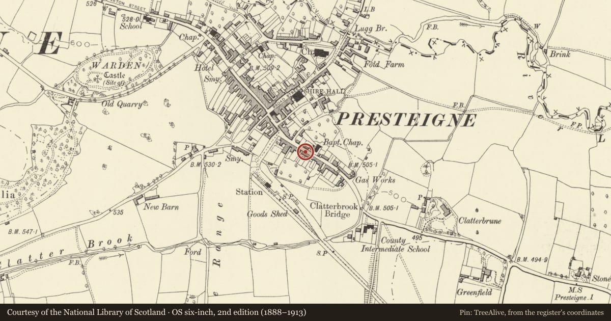
Slide toward Today to fade the historical sheet and see the modern map underneath.
David Rumsey Map Collection, Stanford LibrariesDavid Rumsey Map Collection, Stanford LibrariesDavid Rumsey Map Collection, Stanford LibrariesDavid Rumsey Map Collection, Stanford LibrariesDavid Rumsey Map Collection, Stanford Libraries
5 historical maps cover this location, the earliest the 1637 map "Particular description of Wales. Cambria seu Wallia" (David Rumsey Map Collection, Stanford Libraries).
Historical maps covering this location
- 1637 · Particular description of Wales. Cambria seu Wallia (David Rumsey Map Collection, Stanford Libraries)
- 1830 · V.3:11-15:XV.Britisches Reich. A. Kon: England. a. England ab sich: Shire:15-17, 33 (David Rumsey Map Collection, Stanford Libraries)
- 1883 · Watershed map England, Wales 3. (David Rumsey Map Collection, Stanford Libraries)
- 1899 · 180 Knighton (Hills) (David Rumsey Map Collection, Stanford Libraries)
- 1901 · Sheet 14. (David Rumsey Map Collection, Stanford Libraries)
Cadw's description
Exterior
Fine later C16/early C17 timber framed building with cross wing to left. Stud and plaster fronts, 2 storeys to left with projecting bargeboards, 1 storey and attic to right with paired gabled dormers. Slate roofs, massive rubble stack (hightened in brick) to centre roof with lobby entry plan at former entrance below.
Second rubble stack with setoffs at right gable end with arched garden gate way adjoining.
3 windows wide, 3-light mullioned casements to left, modern windows to right, 2 boarded doors with strapwork hinges.
Reason for designation
Group value.
Nearby in the register
- Apple Tree HouseDomesticunder 1 mi
- LlysrhosenCommercialunder 1 mi
- Barley Mow P.H.Commercialunder 1 mi
- 8 Hereford StreetDomesticunder 1 mi
Other entries of the same register within about three miles of this one, by straight line.