Cof Cymru: National Historic Assets of Wales · Wales
6 & 7 Hereford Street
Presteigne, Powys, Wales
A Grade II listed building in Presteigne, Powys, designated on 26 March 1985.
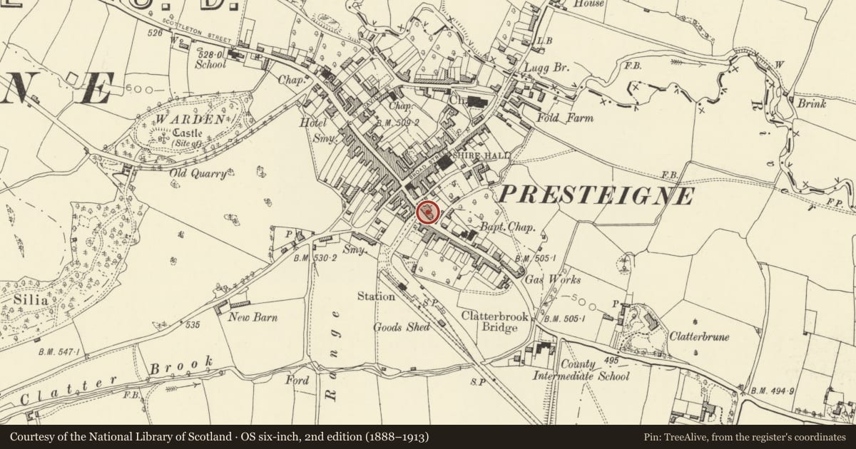
The record
- Designation
- Listed building, Grade II
- Broad class
- Domestic
- Date of designation
- 26 March 1985
- Locality
- Presteigne
- Community
- Presteigne
- Unitary authority
- Powys
- Country
- Wales
- Coordinates
- 52.27280, -3.00572
- Cadw reference
- 8863
Slide toward Today to fade the historical sheet and see the modern map underneath.
David Rumsey Map Collection, Stanford LibrariesDavid Rumsey Map Collection, Stanford LibrariesDavid Rumsey Map Collection, Stanford LibrariesDavid Rumsey Map Collection, Stanford LibrariesDavid Rumsey Map Collection, Stanford Libraries
5 historical maps cover this location, the earliest the 1637 map "Particular description of Wales. Cambria seu Wallia" (David Rumsey Map Collection, Stanford Libraries).
Historical maps covering this location
- 1637 · Particular description of Wales. Cambria seu Wallia (David Rumsey Map Collection, Stanford Libraries)
- 1830 · V.3:11-15:XV.Britisches Reich. A. Kon: England. a. England ab sich: Shire:15-17, 33 (David Rumsey Map Collection, Stanford Libraries)
- 1883 · Watershed map England, Wales 3. (David Rumsey Map Collection, Stanford Libraries)
- 1899 · 180 Knighton (Hills) (David Rumsey Map Collection, Stanford Libraries)
- 1901 · Sheet 14. (David Rumsey Map Collection, Stanford Libraries)
Cadw's description
Location
At the angle of the street with the refronted Midland Bank continuing to the left.
Exterior
Probably early C19 fronts with older parts to rear. 2 storeys, 5 windows, roughcast with continuous eaves treatment and steep slate roofs, rubble mid roof gable to No 7 with lower roof on right lining through with No 8. Brick stack at front eaves.
Sash windows (replaced to No 6) with glazing bars, slender pilasters to doorpiece at No 7 with recessed 6-panel door, modern door to left.
Reason for designation
No 6 included for group value.
Nearby in the register
- 8 Hereford StreetDomesticunder 1 mi
- Lloyd's Bank HouseCommercialunder 1 mi
- including Presteigne CraftsCommercialunder 1 mi
- Harford HouseCommercialunder 1 mi
Other entries of the same register within about three miles of this one, by straight line.