Cof Cymru: National Historic Assets of Wales · Wales
Old Rectory Barn
Presteigne, Powys, Wales
A Grade II listed building in Presteigne, Powys, designated on 26 March 1985.
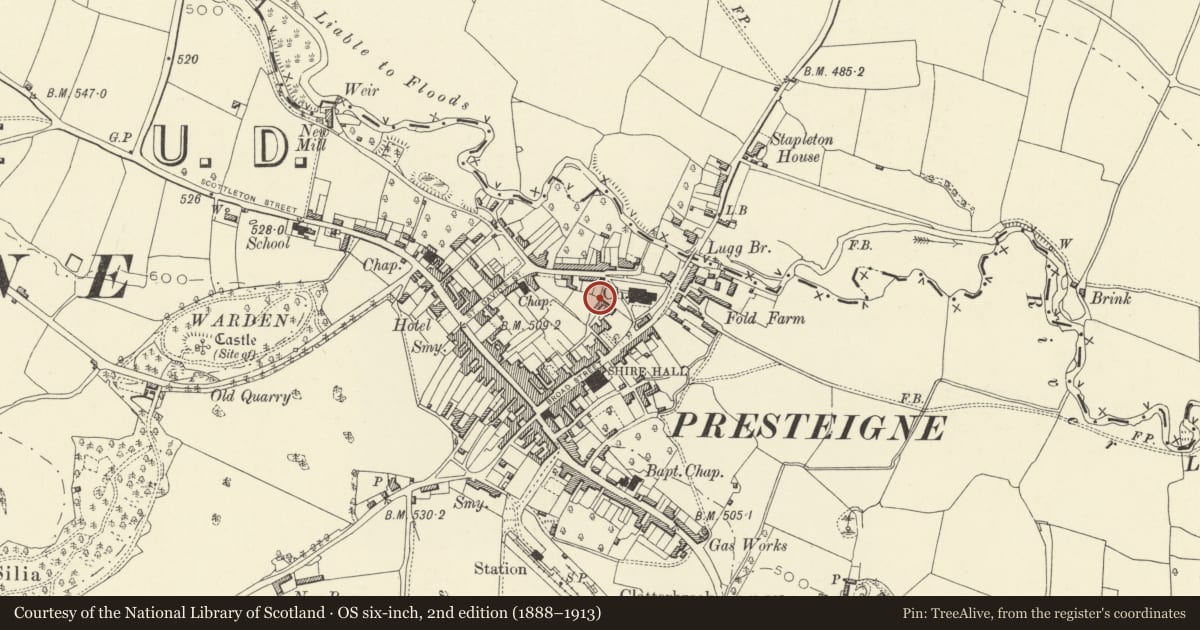
The record
- Designation
- Listed building, Grade II
- Broad class
- Agriculture and Subsistence
- Date of designation
- 26 March 1985
- Community
- Presteigne
- Unitary authority
- Powys
- Country
- Wales
- Coordinates
- 52.27481, -3.00514
- Cadw reference
- 8827
Slide toward Today to fade the historical sheet and see the modern map underneath.
David Rumsey Map Collection, Stanford LibrariesDavid Rumsey Map Collection, Stanford LibrariesDavid Rumsey Map Collection, Stanford LibrariesDavid Rumsey Map Collection, Stanford LibrariesDavid Rumsey Map Collection, Stanford Libraries
5 historical maps cover this location, the earliest the 1637 map "Particular description of Wales. Cambria seu Wallia" (David Rumsey Map Collection, Stanford Libraries).
Historical maps covering this location
- 1637 · Particular description of Wales. Cambria seu Wallia (David Rumsey Map Collection, Stanford Libraries)
- 1830 · V.3:11-15:XV.Britisches Reich. A. Kon: England. a. England ab sich: Shire:15-17, 33 (David Rumsey Map Collection, Stanford Libraries)
- 1883 · Watershed map England, Wales 3. (David Rumsey Map Collection, Stanford Libraries)
- 1899 · 180 Knighton (Hills) (David Rumsey Map Collection, Stanford Libraries)
- 1901 · Sheet 14. (David Rumsey Map Collection, Stanford Libraries)
Cadw's description
Location
In garden to rear of the Old Rectory and with gable end abutting the churchyard.
History
Outbuilding of C18/C19 date which incorporates substantial timber work from C16 roof (possibly reused from the Old Rectory itself).
Exterior
Exterior is 2 storeys with left hand portion roughcast on rubble footings, brick portion to right is slightly advanced, slate roofs. 2 boarded loft doors, 3 sets of boarded double doors with timber lintels.
Complete trusses remain inside showing box frame construction with heavy curved braces under the tie-beam, some cusped wind braces remain in position. The condition of the building is deteriorating.
Reason for designation
Group value.
Nearby in the register
- Old RectoryDomesticunder 1 mi
- Garden Wall at The Old RectoryDomesticunder 1 mi
- 13 Church StreetNo class recordedunder 1 mi
- 12 Church Street, including rear rangeNo class recordedunder 1 mi
Other entries of the same register within about three miles of this one, by straight line.