Cof Cymru: National Historic Assets of Wales · Wales
Pendre
Painscastle, Powys, Wales
A Grade II listed building in Painscastle, Powys, designated on 18 September 1960.
The record
- Designation
- Listed building, Grade II
- Broad class
- Domestic
- Date of designation
- 18 September 1960
- Locality
- Painscastle
- Community
- Painscastle
- Unitary authority
- Powys
- Country
- Wales
- Coordinates
- 52.10920, -3.21854
- Cadw reference
- 8761
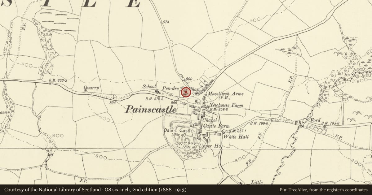
Slide toward Today to fade the historical sheet and see the modern map underneath.
David Rumsey Map Collection, Stanford LibrariesDavid Rumsey Map Collection, Stanford LibrariesDavid Rumsey Map Collection, Stanford LibrariesDavid Rumsey Map Collection, Stanford LibrariesDavid Rumsey Map Collection, Stanford Libraries
5 historical maps cover this location, the earliest the 1608 map "(13) Cambriae Typus." (David Rumsey Map Collection, Stanford Libraries).
Historical maps covering this location
- 1608 · (13) Cambriae Typus. (David Rumsey Map Collection, Stanford Libraries)
- 1636 · Cornubia : Devonia, Somersetus, Dorcestria, Wiltonia, Glocestria ... (David Rumsey Map Collection, Stanford Libraries)
- 1637 · Particular description of Wales. Cambria seu Wallia (David Rumsey Map Collection, Stanford Libraries)
- 1898 · 197 Hay (Hills) (David Rumsey Map Collection, Stanford Libraries)
- 1901 · Sheet 14. (David Rumsey Map Collection, Stanford Libraries)
Cadw's description
Location
Prominent village location on north side of main through road, set back on slightly rising ground.
Exterior
C17 but possibly incorporates earlier fabric. Lobby entry plan with central chimney stack incorporating back-to-back fireplaces. One-and-a-half storeys, rubble stone, overpainted. Tile roof, rubble ridge stack and projecting rubble end stack to east. Large rubble gable porch with arched entry and wall benches. Ovolo-moulded door frame, boarded door. Mainly C19/C20 small-paned casement windows to front including three gabled eaves dormers. In the rear wall are two ovolo-moulded mullion windows, one now blocked.
Interior
Good period features including exposed beams, post and panel screen dividing two westerly rooms and square-panel timber framed partition wall between the lower hall and two end rooms. The latter wall has an original opening with ornate doorhead. Remnants only of C18 stairs rising beside central stack. East side of stack has large open fireplace with timber lintel, west fireplace now blocked.
Reason for designation
Included as an attractive example of a regional vernacular house retaining good internal features.
Nearby in the register
- The Old ShopDomesticunder 1 mi
- Newhouse BarnAgriculture and Subsistenceunder 1 mi
- NewhouseDomesticunder 1 mi
- Castle FarmhouseDomesticunder 1 mi
Other entries of the same register within about three miles of this one, by straight line.