Cof Cymru: National Historic Assets of Wales · Wales
Gateway to The Nook
Conwy, Conwy, Wales
A Grade II listed building in Llanrhos, Conwy, designated on 30 December 2005.
The record
- Designation
- Listed building, Grade II
- Broad class
- No class recorded
- Date of designation
- 30 December 2005
- Locality
- Llanrhos
- Community
- Conwy
- Unitary authority
- Conwy
- Country
- Wales
- Coordinates
- 53.30309, -3.81168
- Cadw reference
- 87436
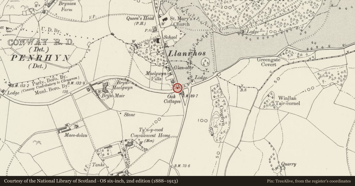
Slide toward Today to fade the historical sheet and see the modern map underneath.
David Rumsey Map Collection, Stanford LibrariesDavid Rumsey Map Collection, Stanford LibrariesDavid Rumsey Map Collection, Stanford LibrariesLlyfrgell Genedlaethol Cymru – The National Library of WalesNational Library of Scotland
5 historical maps cover this location, the earliest the 1795 map "To Sir Watkin Williams-Wynn Bart ... the map of the six counties of North Wales is most humbly inscribed by his obedient humble servant" (Llyfrgell Genedlaethol Cymru – The National Library of Wales).
Historical maps covering this location
- 1795 · To Sir Watkin Williams-Wynn Bart ... the map of the six counties of North Wales is most… (Llyfrgell Genedlaethol Cymru – The National Library of Wales)
- 1883 · Watershed map England, Wales 3. (David Rumsey Map Collection, Stanford Libraries)
- 1899 · 94 Beaumaris (Hills) (David Rumsey Map Collection, Stanford Libraries)
- 1901 · Sheet 9 and 10. (David Rumsey Map Collection, Stanford Libraries)
- 1930 · OS Popular Edition 1919-1947 (National Library of Scotland)
Cadw's description
Location
Facing the street in front of the house, on the corner of Conway Road and Bryn Lupus Road.
History
Contemporary with the house, dated 1897, and shown on the 1900 Ordnance Survey.
Exterior
An elaborate entrance feature in the manner of a lych gate, timber-framed gabled on rubble-stone garden walls. It has turned and shaped uprights to front and back respectively, with X-pattern bracing to the sides. The gable has tie, post and struts, fret-cut bargeboards, and tile roof with ridge cresting. A simple wooden gate has an upper tier of shaped studs.
Reason for designation
Listed as an ornate gateway the complements the setting of the house, one of 3 well-preserved late Victorian suburban houses with similar gateways.
Nearby in the register
- The NookNo class recordedunder 1 mi
- Gate at entrance to EdenhurstNo class recordedunder 1 mi
- EdenhurstNo class recordedunder 1 mi
- WoodvilleNo class recordedunder 1 mi
Other entries of the same register within about three miles of this one, by straight line.