Cof Cymru: National Historic Assets of Wales · Wales
Crucifixion and Stations of the Cross at Catholic Church of St Michael
Conwy, Conwy, Wales
A Grade II listed building in Walled town, Conwy, designated on 30 December 2005.
The record
- Designation
- Listed building, Grade II
- Broad class
- No class recorded
- Date of designation
- 30 December 2005
- Locality
- Walled town
- Town
- Conwy
- Community
- Conwy
- Unitary authority
- Conwy
- Country
- Wales
- Coordinates
- 53.27980, -3.83188
- Cadw reference
- 87416
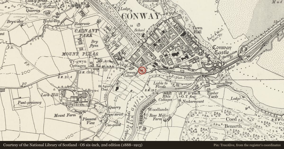
Slide toward Today to fade the historical sheet and see the modern map underneath.
David Rumsey Map Collection, Stanford LibrariesDavid Rumsey Map Collection, Stanford LibrariesDavid Rumsey Map Collection, Stanford LibrariesLlyfrgell Genedlaethol Cymru – The National Library of WalesDavid Rumsey Map Collection, Stanford Libraries
5 historical maps cover this location, the earliest the 1795 map "To Sir Watkin Williams-Wynn Bart ... the map of the six counties of North Wales is most humbly inscribed by his obedient humble servant" (Llyfrgell Genedlaethol Cymru – The National Library of Wales).
Historical maps covering this location
- 1795 · To Sir Watkin Williams-Wynn Bart ... the map of the six counties of North Wales is most… (Llyfrgell Genedlaethol Cymru – The National Library of Wales)
- 1830 · V.3:11-15:XV. Britisches Reich. A. Kon: England. b. Frstenthum Wales: Shire: 37-40 (David Rumsey Map Collection, Stanford Libraries)
- 1883 · Watershed map England, Wales 3. (David Rumsey Map Collection, Stanford Libraries)
- 1899 · 94 Beaumaris (Hills) (David Rumsey Map Collection, Stanford Libraries)
- 1901 · Sheet 9 and 10. (David Rumsey Map Collection, Stanford Libraries)
Cadw's description
Location
Immediately adjacent to the Town Walls and on the W and S sides of St Michael's Roman Catholic church.
History
Mid C20, the work of G. Rinvolucri, an Italian architect who came to Wales originally as a prisoner of war. He lived and worked in the conwy area, and designed several R.C. Churches in N. Wales. The church was built in the inter-war period as it is not shown on the 1913 Ordnance Survey. None of the sculptures is signed or dated, but all have dedications.
Exterior
A mid C20 large sculpture in white marble of the crucifixion with the figures of the 2 Marys and John. It forms the 12th station of the cross. The first 11 and the 13th are square relief plaster casts against the Town Wall, and the 14th is on the W wall of St Michael's RC church.
Reason for designation
Listed for its special interest as a fine mid C20 devotional scultpure forming the focus of a group of distinctive tablets, all of exceptional quality, on the medieval town wall.
Nearby in the register
- Plas Uchaf, 4 Victoria TerraceNo class recordedunder 1 mi
- 3 Victoria TerraceNo class recordedunder 1 mi
- 2 Victoria TerraceNo class recordedunder 1 mi
- 1 Victoria TerraceDomesticunder 1 mi
Other entries of the same register within about three miles of this one, by straight line.