Cof Cymru: National Historic Assets of Wales · Wales
Gatepiers, garden wall and railings to Plas Offa
Montgomery, Powys, Wales
A Grade II listed building in Montgomery, Powys, designated on 16 December 2005.
The record
- Designation
- Listed building, Grade II
- Broad class
- Domestic
- Date of designation
- 16 December 2005
- Town
- Montgomery
- Community
- Montgomery
- Unitary authority
- Powys
- Country
- Wales
- Coordinates
- 52.56451, -3.14485
- Cadw reference
- 87237
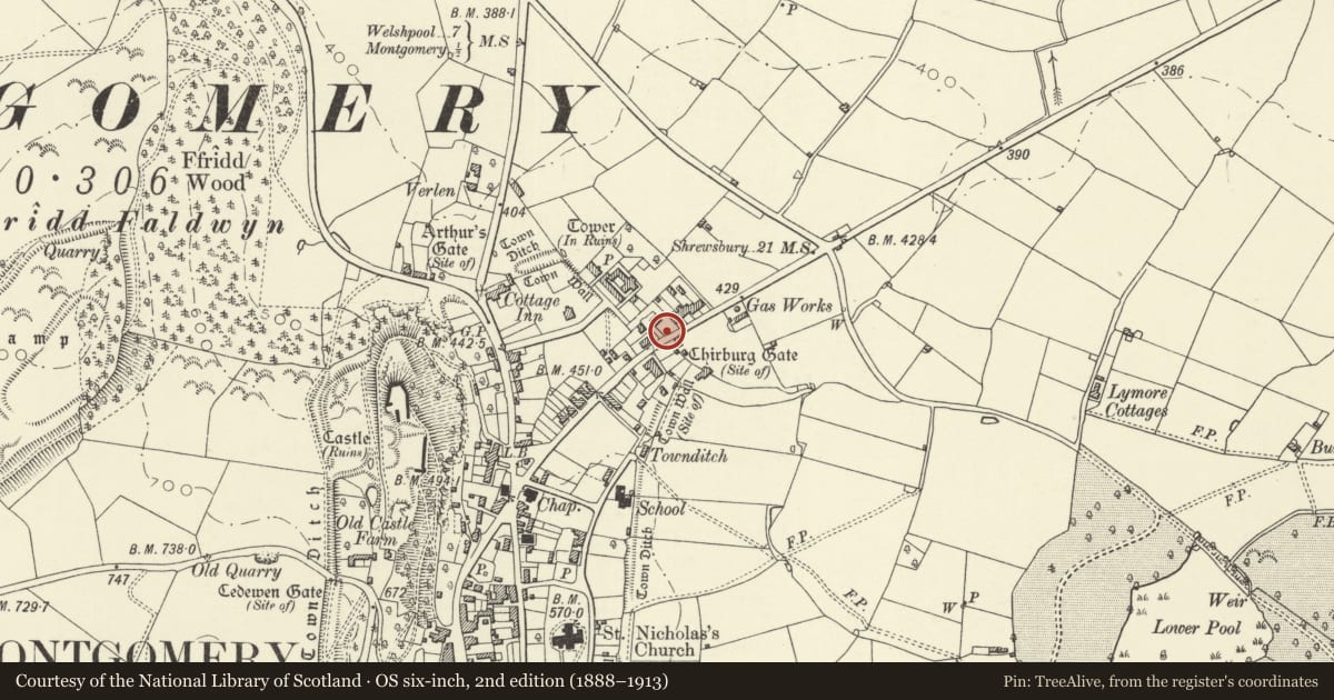
Slide toward Today to fade the historical sheet and see the modern map underneath.
David Rumsey Map Collection, Stanford LibrariesDavid Rumsey Map Collection, Stanford LibrariesDavid Rumsey Map Collection, Stanford LibrariesLlyfrgell Genedlaethol Cymru – The National Library of WalesDavid Rumsey Map Collection, Stanford Libraries
5 historical maps cover this location, the earliest the 1637 map "Particular description of Wales. Cambria seu Wallia" (David Rumsey Map Collection, Stanford Libraries).
Historical maps covering this location
- 1637 · Particular description of Wales. Cambria seu Wallia (David Rumsey Map Collection, Stanford Libraries)
- 1795 · To Sir Watkin Williams-Wynn Bart ... the map of the six counties of North Wales is most… (Llyfrgell Genedlaethol Cymru – The National Library of Wales)
- 1883 · Watershed map England, Wales 3. (David Rumsey Map Collection, Stanford Libraries)
- 1899 · 165 Montgomery (Hills) (David Rumsey Map Collection, Stanford Libraries)
- 1901 · Sheet 14. (David Rumsey Map Collection, Stanford Libraries)
Cadw's description
Location
Situated on roadside with gatepiers to left of front garden wall and railings.
History
Pair of massive gatepiers to the former Mongomery County Gaol, whose main entrance was here before Gaol Road was made in the 1860s. There are two similar gatepiers, moved to the Presbyterian Church in Princes Street when it was built in 1885. The gaol closed in 1878 and stones from the cell blocks were allegedly used by W.G. James to build Plas Offa c1880.
Exterior
Two massive gatepiers in sandstone. Square bases, monolith shafts with inset necks and cross-gabled caps. Attached massive inner gatestops with scrolled tops. To right spearhead iron low railings on squared stone low walls, with tall matching centre iron gate in line with front door, with spearhead dogbars and urn-capped standards.
Reason for designation
Included as a pair of gatepiers of historical interest as belonging to the former County Gaol. With the garden wall and railings they are part of a group with Plas Offa.
Nearby in the register
- Plas OffaDomesticunder 1 mi
- No. 1 Clive TerraceDomesticunder 1 mi
- Clive HouseDomesticunder 1 mi
- Howard's EndDomesticunder 1 mi
Other entries of the same register within about three miles of this one, by straight line.