Cof Cymru: National Historic Assets of Wales · Wales
Wing Walls at entry to Tre-Elidyr Green opposite Dan-y-mur
Goetre Fawr, Monmouthshire, Wales
A Grade II listed building in Llanover, Abergavenny, Goetre Fawr, Monmouthshire, designated on 9 December 2005.
The record
- Designation
- Listed building, Grade II
- Broad class
- Commemorative
- Date of designation
- 9 December 2005
- Locality
- Llanover
- Town
- Abergavenny
- Community
- Goetre Fawr
- Unitary authority
- Monmouthshire
- Country
- Wales
- Coordinates
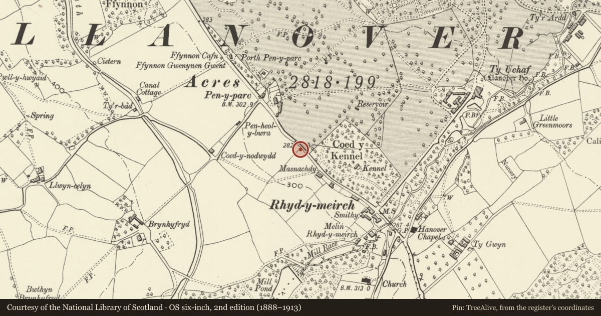
- 51.76788, -2.99799
- Cadw reference
- 87219
Slide toward Today to fade the historical sheet and see the modern map underneath.
David Rumsey Map Collection, Stanford LibrariesDavid Rumsey Map Collection, Stanford LibrariesDavid Rumsey Map Collection, Stanford LibrariesDavid Rumsey Map Collection, Stanford LibrariesDavid Rumsey Map Collection, Stanford Libraries
5 historical maps cover this location, the earliest the 1636 map "Cornubia : Devonia, Somersetus, Dorcestria, Wiltonia, Glocestria ..." (David Rumsey Map Collection, Stanford Libraries).
Historical maps covering this location
- 1636 · Cornubia : Devonia, Somersetus, Dorcestria, Wiltonia, Glocestria ... (David Rumsey Map Collection, Stanford Libraries)
- 1895 · Sheet 11. Ordnance Survey of England and Wales. (David Rumsey Map Collection, Stanford Libraries)
- 1898 · 232 Abergavenny (Hills) (David Rumsey Map Collection, Stanford Libraries)
- 1898 · 232 Abergavenny (Outline) (David Rumsey Map Collection, Stanford Libraries)
- 1913 · Sheet 102. Newport. (David Rumsey Map Collection, Stanford Libraries)
Cadw's description
Location
Together with an informal grouping of cottages, the War Memorial and the village school around the War Memorial Green in the centre of Llanover village.
History
Part of the Memorial Green laid out in c1922-5 for the WWI Memorial (qv) and probably designed by Alfred Powell.
Exterior
Cut and squared red rock-faced sandstone. Square piers at either end, quadrant walls round fine oak trees to square piers at centre with entry to Memorial Green. The walls are about 1.25m in height and are coped with flat stones as are the piers.
Reason for designation
Included for its special interest as being a part of a planned War Memorial housing development around a green, which was designed by Alfred Powell and remains almost unaltered in detail.
Nearby in the register
- Tre-ElidyrDomesticunder 1 mi
- Tre-ElidyrDomesticunder 1 mi
- Dan-y-murDomesticunder 1 mi
- Tre-ElidyrDomesticunder 1 mi
Other entries of the same register within about three miles of this one, by straight line.