Cof Cymru: National Historic Assets of Wales · Wales
Milestone
Haverfordwest, Pembrokeshire, Wales
A Grade II listed building in Prendergast, Haverfordwest, Pembrokeshire, designated on 30 November 2005.
The record
- Designation
- Listed building, Grade II
- Broad class
- Transport
- Date of designation
- 30 November 2005
- Locality
- Prendergast
- Town
- Haverfordwest
- Community
- Haverfordwest
- Unitary authority
- Pembrokeshire
- Country
- Wales
- Coordinates
- 51.81089, -4.96302
- Cadw reference
- 87069
Slide toward Today to fade the historical sheet and see the modern map underneath.
David Rumsey Map Collection, Stanford LibrariesDavid Rumsey Map Collection, Stanford LibrariesDavid Rumsey Map Collection, Stanford LibrariesDavid Rumsey Map Collection, Stanford LibrariesDavid Rumsey Map Collection, Stanford Libraries
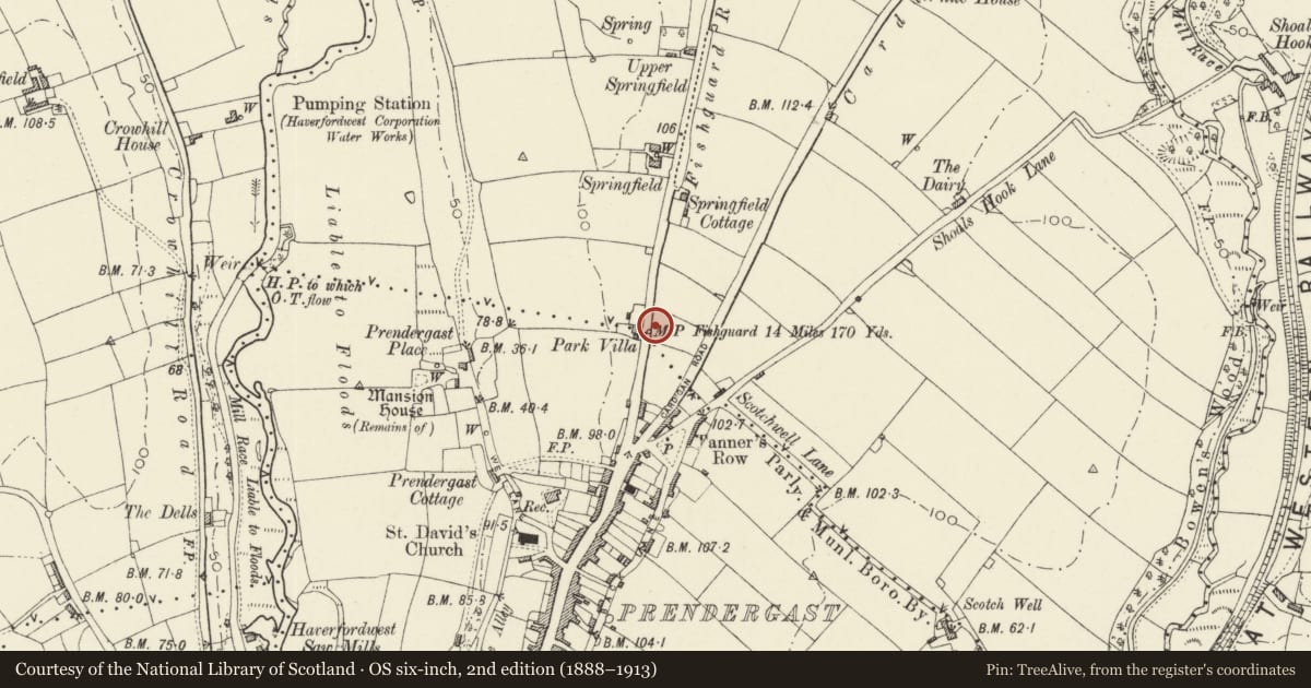
5 historical maps cover this location, the earliest the 1608 map "(13) Cambriae Typus." (David Rumsey Map Collection, Stanford Libraries).
Historical maps covering this location
- 1608 · (13) Cambriae Typus. (David Rumsey Map Collection, Stanford Libraries)
- 1636 · Cornubia : Devonia, Somersetus, Dorcestria, Wiltonia, Glocestria ... (David Rumsey Map Collection, Stanford Libraries)
- 1891 · Sheet 10. Ordnance Survey of England and Wales. . (David Rumsey Map Collection, Stanford Libraries)
- 1898 · 228 Haverfordwest (Hills) (David Rumsey Map Collection, Stanford Libraries)
- 1901 · Sheet 13. (David Rumsey Map Collection, Stanford Libraries)
Cadw's description
Location
Situated by Withybush roundabout at top end of road into Prendergast.
History
Reset cast-iron milestone, typical of those made by the Marychurch Foundry in Haverfordwest for the turnpike roads. Probably earlier C19.
Exterior
Milestone, modern rubble back to painted cast-iron gabled plaque marked '14 miles 170 yards to Fishguard Marychurch Foundry'.
Reason for designation
Included for special historic interest as an example of the distinctive cast-iron milestones of the region.
Nearby in the register
- Ty TwtDomesticunder 1 mi
- PenrhiwllanDomesticunder 1 mi
- Churchyard wall at St. David's Church, enclosing churchyard on S & E sidesReligious, Ritual and Funeraryunder 1 mi
- Church of Saint DavidReligious, Ritual and Funeraryunder 1 mi
Other entries of the same register within about three miles of this one, by straight line.