Cof Cymru: National Historic Assets of Wales · Wales
Former Stables
Haverfordwest, Pembrokeshire, Wales
A Grade II listed building in Haverfordwest, Pembrokeshire, designated on 30 November 2005.
The record
- Designation
- Listed building, Grade II
- Broad class
- Domestic
- Date of designation
- 30 November 2005
- Town
- Haverfordwest
- Community
- Haverfordwest
- Unitary authority
- Pembrokeshire
- Country
- Wales
- Coordinates
- 51.80224, -4.97392
- Cadw reference
- 87068
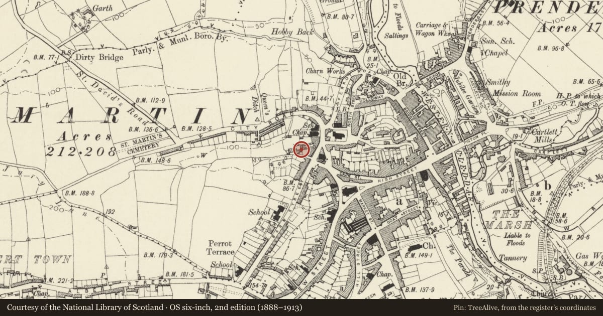
Slide toward Today to fade the historical sheet and see the modern map underneath.
David Rumsey Map Collection, Stanford LibrariesDavid Rumsey Map Collection, Stanford LibrariesDavid Rumsey Map Collection, Stanford LibrariesDavid Rumsey Map Collection, Stanford LibrariesDavid Rumsey Map Collection, Stanford Libraries
5 historical maps cover this location, the earliest the 1608 map "(13) Cambriae Typus." (David Rumsey Map Collection, Stanford Libraries).
Historical maps covering this location
- 1608 · (13) Cambriae Typus. (David Rumsey Map Collection, Stanford Libraries)
- 1636 · Cornubia : Devonia, Somersetus, Dorcestria, Wiltonia, Glocestria ... (David Rumsey Map Collection, Stanford Libraries)
- 1891 · Sheet 10. Ordnance Survey of England and Wales. . (David Rumsey Map Collection, Stanford Libraries)
- 1898 · 228 Haverfordwest (Hills) (David Rumsey Map Collection, Stanford Libraries)
- 1901 · Sheet 13. (David Rumsey Map Collection, Stanford Libraries)
Cadw's description
Location
Situated down lane between Nos 4 and 5 Spring Gardens, Barn Street.
History
Former coach-house and stables to houses in Spring Gardens, developed from 1839 for William Rees, solicitor, who lived at Nos 8-8A. The stables are dated 1850.
Exterior
Former coach-house and stables, rubble stone with remnant of whitewash, and corrugated asbestos roofs. L-plan, with lofted main range and single-storey range at right angles. Main range has three loft openings, one blind to left, two boarded, with stone sills, over two flat-headed coach entries with flat brick heads over timber lintels. Thicker lintel to left. Window to extreme right with brick head.
Range at right angles has two broad depressed arched entries, one to throughway, the other to coach-house with framed boarded double doors. Datestone 1850 between.
Interior
Interior not inspected.
Reason for designation
Included for its special interest as a surviving example of coach-house and stable block to an urban terrace.
Nearby in the register
- No 5 Spring Gardens including area railingsDomesticunder 1 mi
- No 3 Spring GardensNo class recordedunder 1 mi
- No 4 Spring GardensDomesticunder 1 mi
- No 2 Spring GardensDomesticunder 1 mi
Other entries of the same register within about three miles of this one, by straight line.