Cof Cymru: National Historic Assets of Wales · Wales
17 Goat Street
Haverfordwest, Pembrokeshire, Wales
A Grade II listed building in Haverfordwest, Pembrokeshire, designated on 1 July 1974.
The record
- Designation
- Listed building, Grade II
- Broad class
- Domestic
- Date of designation
- 1 July 1974
- Town
- Haverfordwest
- Community
- Haverfordwest
- Unitary authority
- Pembrokeshire
- Country
- Wales
- Coordinates
- 51.80052, -4.96933
- Cadw reference
- 87063
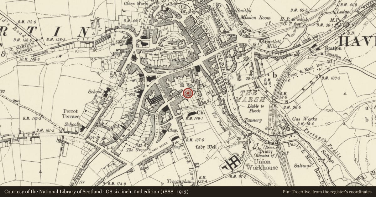
Slide toward Today to fade the historical sheet and see the modern map underneath.
David Rumsey Map Collection, Stanford LibrariesDavid Rumsey Map Collection, Stanford LibrariesDavid Rumsey Map Collection, Stanford LibrariesDavid Rumsey Map Collection, Stanford LibrariesDavid Rumsey Map Collection, Stanford Libraries
5 historical maps cover this location, the earliest the 1608 map "(13) Cambriae Typus." (David Rumsey Map Collection, Stanford Libraries).
Historical maps covering this location
- 1608 · (13) Cambriae Typus. (David Rumsey Map Collection, Stanford Libraries)
- 1636 · Cornubia : Devonia, Somersetus, Dorcestria, Wiltonia, Glocestria ... (David Rumsey Map Collection, Stanford Libraries)
- 1891 · Sheet 10. Ordnance Survey of England and Wales. . (David Rumsey Map Collection, Stanford Libraries)
- 1898 · 228 Haverfordwest (Hills) (David Rumsey Map Collection, Stanford Libraries)
- 1901 · Sheet 13. (David Rumsey Map Collection, Stanford Libraries)
Cadw's description
Location
Situated as one of two two-storey houses between taller Nos 13 and 19.
History
Terraced house, stepped down from No 15 and of smaller scale. All the exterior detail is earlier C20, possibly 1920s, though the house is probably earlier.
Exterior
Terraced house, painted roughcast and stucoo with close-eaved imitation-slate roof and brick square right end stack. Two-storey, three-window range offset to left with roughcast upper floor, stucco band over stuccoed ground floor. Three small upper windows with casement-pairs under 5-pane narrow top lights. Ground floor openings are in stucco moulded frames, windows have casements each under 4-pane top-light, three-light window to right, two light to left of recessed door. Modern half-glazed door up two steps.
Interior
Interior not inspected.
Reason for designation
Included mainly for group value in terraced row.
Nearby in the register
- 15 Goat StreetDomesticunder 1 mi
- Orielton HouseDomesticunder 1 mi
- Egerton HouseNo class recordedunder 1 mi
- 13 Goat StreetDomesticunder 1 mi
Other entries of the same register within about three miles of this one, by straight line.