Cof Cymru: National Historic Assets of Wales · Wales
Gravestone of Edward Lloyd in Hanmer churchyard
Hanmer, Wrexham, Wales
A Grade II listed building in Hanmer, Wrexham, designated on 15 November 2005.
The record
- Designation
- Listed building, Grade II
- Broad class
- No class recorded
- Date of designation
- 15 November 2005
- Locality
- Hanmer
- Community
- Hanmer
- Unitary authority
- Wrexham
- Country
- Wales
- Coordinates
- 52.95214, -2.81303
- Cadw reference
- 86937
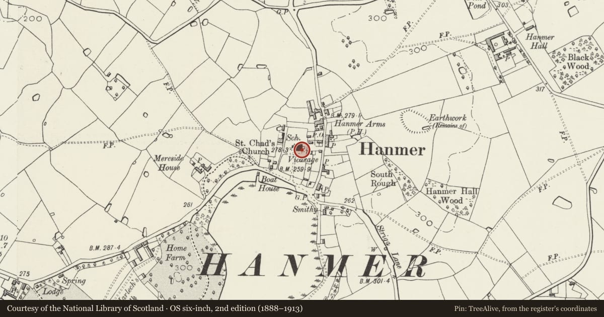
Slide toward Today to fade the historical sheet and see the modern map underneath.
David Rumsey Map Collection, Stanford LibrariesDavid Rumsey Map Collection, Stanford LibrariesDavid Rumsey Map Collection, Stanford LibrariesDavid Rumsey Map Collection, Stanford LibrariesDavid Rumsey Map Collection, Stanford Libraries
5 historical maps cover this location, the earliest the 1637 map "Particular description of Wales. Cambria seu Wallia" (David Rumsey Map Collection, Stanford Libraries).
Historical maps covering this location
- 1637 · Particular description of Wales. Cambria seu Wallia (David Rumsey Map Collection, Stanford Libraries)
- 1861 · 73. Market Drayton. (David Rumsey Map Collection, Stanford Libraries)
- 1883 · Watershed map England, Wales 3. (David Rumsey Map Collection, Stanford Libraries)
- 1897 · 122 Nantwich (Hills) (David Rumsey Map Collection, Stanford Libraries)
- 1901 · Sheet 9 and 10. (David Rumsey Map Collection, Stanford Libraries)
Cadw's description
Location
On the S side of the chancel.
Exterior
A C17 roughly dressed square-headed gravestone with inscription reading 'Here lyeth the body of Edward Lloyd of Halghton Esq who departed this life ... November 1646 ...'
Reason for designation
Listed as an exceptionally early churchyard memorial, one of a series of memorials contributing to the well-preserved historical integrity of the churchyard, and to the setting of the church.
Nearby in the register
- Tomb of Henry Parry in Hanmer churchyardNo class recordedunder 1 mi
- Hanmer Churchyard CrossCrossunder 1 mi
- Hanmer churchyard crossNo class recordedunder 1 mi
- Nickson family tombs, including railings, in Hanmer churchyardNo class recordedunder 1 mi
Other entries of the same register within about three miles of this one, by straight line.