Cof Cymru: National Historic Assets of Wales · Wales
Trinity Almshouses
Abergavenny, Monmouthshire, Wales
A Grade II listed building in Abergavenny, Monmouthshire, designated on 1 November 1974.
The record
- Designation
- Listed building, Grade II
- Broad class
- Domestic
- Date of designation
- 1 November 1974
- Locality
- Abergavenny
- Town
- Abergavenny
- Community
- Abergavenny
- Unitary authority
- Monmouthshire
- Country
- Wales
- Coordinates
- 51.82270, -3.02226
- Cadw reference
- 86900
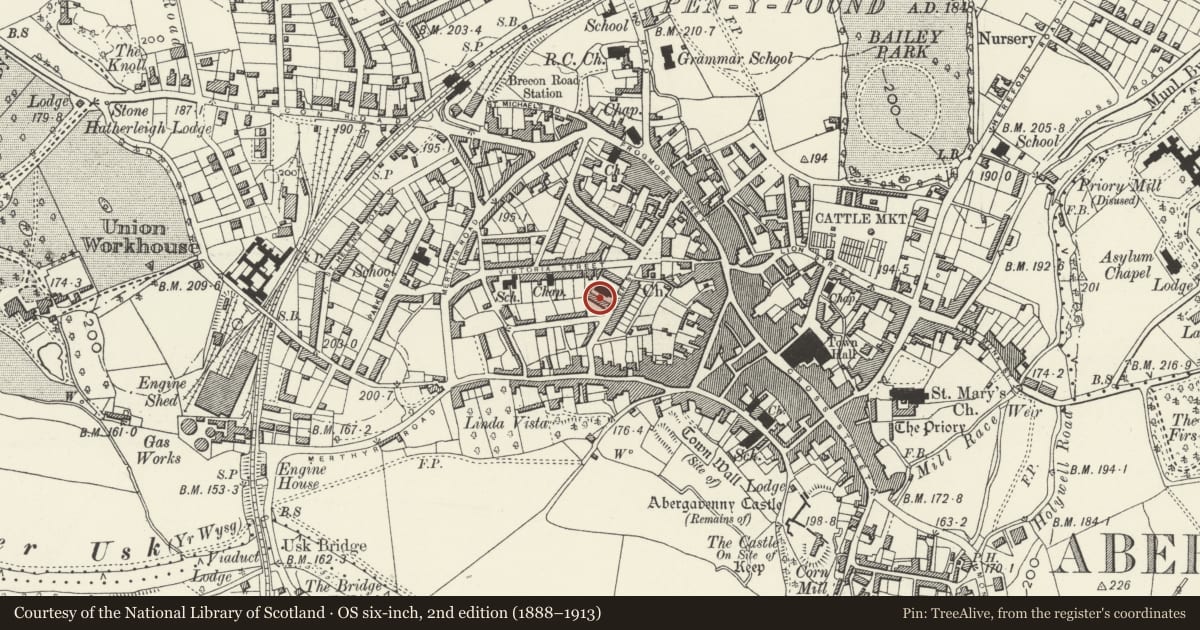
Slide toward Today to fade the historical sheet and see the modern map underneath.
David Rumsey Map Collection, Stanford LibrariesDavid Rumsey Map Collection, Stanford LibrariesDavid Rumsey Map Collection, Stanford LibrariesDavid Rumsey Map Collection, Stanford LibrariesDavid Rumsey Map Collection, Stanford Libraries
5 historical maps cover this location, the earliest the 1636 map "Cornubia : Devonia, Somersetus, Dorcestria, Wiltonia, Glocestria ..." (David Rumsey Map Collection, Stanford Libraries).
Historical maps covering this location
- 1636 · Cornubia : Devonia, Somersetus, Dorcestria, Wiltonia, Glocestria ... (David Rumsey Map Collection, Stanford Libraries)
- 1856 · 42. Brecon. (David Rumsey Map Collection, Stanford Libraries)
- 1898 · 232 Abergavenny (Hills) (David Rumsey Map Collection, Stanford Libraries)
- 1898 · 232 Abergavenny (Outline) (David Rumsey Map Collection, Stanford Libraries)
- 1901 · Sheet 14. (David Rumsey Map Collection, Stanford Libraries)
Cadw's description
Location
Next to the Church of the HolyTrinity in a close-knit group.
History
Built in 1842 and designed by T H Wyatt. They were endowed in 1840 by Rachael Herbert for the benefit of single and widowed women. The almshouse appear to have been little altered since.
Exterior
Rear elevation not inspected.
Interior
Interior not inspected at resurvey.
Reason for designation
Included for its special interest as early Victorian almshouses of definite character designed by T H Wyatt which, together with the Vicarage and the Church, forms a coherently designed group.
Nearby in the register
- Trinity AlmshousesNo class recordedunder 1 mi
- Trinity AlmshousesDomesticunder 1 mi
- Trinity AlmshousesNo class recordedunder 1 mi
- Holy Trinity VicarageDomesticunder 1 mi
Other entries of the same register within about three miles of this one, by straight line.