Cof Cymru: National Historic Assets of Wales · Wales
House, including garden walls with terracotta dressings and pinecone finials
Abergavenny, Monmouthshire, Wales
A Grade II listed building in Abergavenny, Monmouthshire, designated on 10 November 2005.
The record
- Designation
- Listed building, Grade II
- Broad class
- No class recorded
- Date of designation
- 10 November 2005
- Locality
- Abergavenny
- Town
- Abergavenny
- Community
- Abergavenny
- Unitary authority
- Monmouthshire
- Country
- Wales
- Coordinates
- 51.81928, -3.01356
- Cadw reference
- 86885
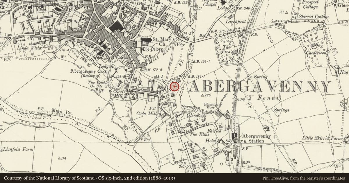
Slide toward Today to fade the historical sheet and see the modern map underneath.
David Rumsey Map Collection, Stanford LibrariesDavid Rumsey Map Collection, Stanford LibrariesDavid Rumsey Map Collection, Stanford LibrariesDavid Rumsey Map Collection, Stanford LibrariesDavid Rumsey Map Collection, Stanford Libraries
5 historical maps cover this location, the earliest the 1636 map "Cornubia : Devonia, Somersetus, Dorcestria, Wiltonia, Glocestria ..." (David Rumsey Map Collection, Stanford Libraries).
Historical maps covering this location
- 1636 · Cornubia : Devonia, Somersetus, Dorcestria, Wiltonia, Glocestria ... (David Rumsey Map Collection, Stanford Libraries)
- 1856 · 42. Brecon. (David Rumsey Map Collection, Stanford Libraries)
- 1898 · 232 Abergavenny (Hills) (David Rumsey Map Collection, Stanford Libraries)
- 1898 · 232 Abergavenny (Outline) (David Rumsey Map Collection, Stanford Libraries)
- 1901 · Sheet 14. (David Rumsey Map Collection, Stanford Libraries)
Cadw's description
Location
On a west facing slope at the south end of the town.
History
Built in c1890-1900 and probably by Thomas Foster, builder and his brother Edwin Foster, an architect and surveyor who lived in Bella Vista in Monmouth Road just across from Fosterville Crescent. Some of the houses in Fosterville Crescent are late C19 in appearance but the redevelopment of the street continued until at least 1910. These houses have been very little altered since building.
Exterior
This house has retained the chimney on the right return.
Rear elevation not inspected.
Interior
Interior not seen at resurvey.
Reason for designation
Included as part of a specially interesting c1900 housing development of definite character designed and built by the Fosters, a local family of architect and builder.
Nearby in the register
- House, including garden walls with terracotta dressings and pinecone finialsNo class recordedunder 1 mi
- House, including garden walls with terracotta dressings and ball finialsDomesticunder 1 mi
- House, including garden walls with terracotta dressings and ball finialsNo class recordedunder 1 mi
- Asthal House, including garden steps, gates and walls with terracotta dressingsNo class recordedunder 1 mi
Other entries of the same register within about three miles of this one, by straight line.