Cof Cymru: National Historic Assets of Wales · Wales
51 High Street Inferior
Brecon, Powys, Wales
A Grade II listed building in Brecon, Powys, designated on 4 November 2005.
The record
- Designation
- Listed building, Grade II
- Broad class
- Commercial
- Date of designation
- 4 November 2005
- Town
- Brecon
- Community
- Brecon
- Unitary authority
- Powys
- Country
- Wales
- Coordinates
- 51.94729, -3.39096
- Cadw reference
- 85785
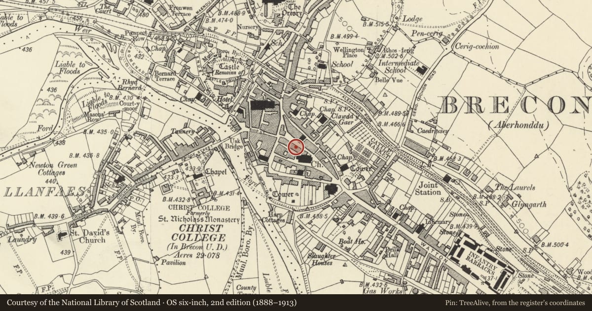
Slide toward Today to fade the historical sheet and see the modern map underneath.
David Rumsey Map Collection, Stanford LibrariesDavid Rumsey Map Collection, Stanford LibrariesDavid Rumsey Map Collection, Stanford LibrariesDavid Rumsey Map Collection, Stanford LibrariesDavid Rumsey Map Collection, Stanford Libraries
5 historical maps cover this location, the earliest the 1608 map "(13) Cambriae Typus." (David Rumsey Map Collection, Stanford Libraries).
Historical maps covering this location
- 1608 · (13) Cambriae Typus. (David Rumsey Map Collection, Stanford Libraries)
- 1636 · Cornubia : Devonia, Somersetus, Dorcestria, Wiltonia, Glocestria ... (David Rumsey Map Collection, Stanford Libraries)
- 1856 · 42. Brecon. (David Rumsey Map Collection, Stanford Libraries)
- 1898 · 213 Brecon (Hills) (David Rumsey Map Collection, Stanford Libraries)
- 1901 · Sheet 14. (David Rumsey Map Collection, Stanford Libraries)
Cadw's description
Location
Opposite Town Hall.
History
Late C19 front to High Street, but believed to contain C18 structure. The birthplace in 1747 of Dr Thomas Coke, "The founder of the Wesleyan Foreign Missions and of the Methodist Episcopal Church in America".
Exterior
Shop with accommodation above. Three storeys plus attic; painted brick. Single-window front with hipped attic dormer flanked by pilasters and shaped parapet; Greek key band. Two-storey splayed oriel window on second and first floors; bands of dogtooth decoration below. Altered shopfront with doorway to each end.
Rear elevation to Church Lane, exposed stone with yellow brick dressings; 2-window front with horned sash windows, and on ground floor, good C19 iron railings; doorway to each end.
Reason for designation
Included for Group Value with adjacent listed buildings in High Street.
Nearby in the register
- Ye Olde Cognac PHCommercialunder 1 mi
- 52 High Street InferiorCommercialunder 1 mi
- 49 High Street InferiorCommercialunder 1 mi
- 53 High Street InferiorCommercialunder 1 mi
Other entries of the same register within about three miles of this one, by straight line.