Cof Cymru: National Historic Assets of Wales · Wales
Bronington war memorial
Bronington, Wrexham, Wales
A Grade II listed building in Bronington, Wrexham, designated on 20 October 2005.
The record
- Designation
- Listed building, Grade II
- Broad class
- No class recorded
- Date of designation
- 20 October 2005
- Locality
- Bronington
- Community
- Bronington
- Unitary authority
- Wrexham
- Country
- Wales
- Coordinates
- 52.94967, -2.75888
- Cadw reference
- 85449
Slide toward Today to fade the historical sheet and see the modern map underneath.
David Rumsey Map Collection, Stanford LibrariesDavid Rumsey Map Collection, Stanford LibrariesDavid Rumsey Map Collection, Stanford LibrariesDavid Rumsey Map Collection, Stanford LibrariesDavid Rumsey Map Collection, Stanford Libraries
5 historical maps cover this location, the earliest the 1637 map "Particular description of Wales. Cambria seu Wallia" (David Rumsey Map Collection, Stanford Libraries).
Historical maps covering this location
- 1637 · Particular description of Wales. Cambria seu Wallia (David Rumsey Map Collection, Stanford Libraries)
- 1861 · 73. Market Drayton. (David Rumsey Map Collection, Stanford Libraries)
- 1883 · Watershed map England, Wales 3. (David Rumsey Map Collection, Stanford Libraries)
- 1897 · 122 Nantwich (Hills) (David Rumsey Map Collection, Stanford Libraries)
- 1901 · Sheet 9 and 10. (David Rumsey Map Collection, Stanford Libraries)
Cadw's description
Location
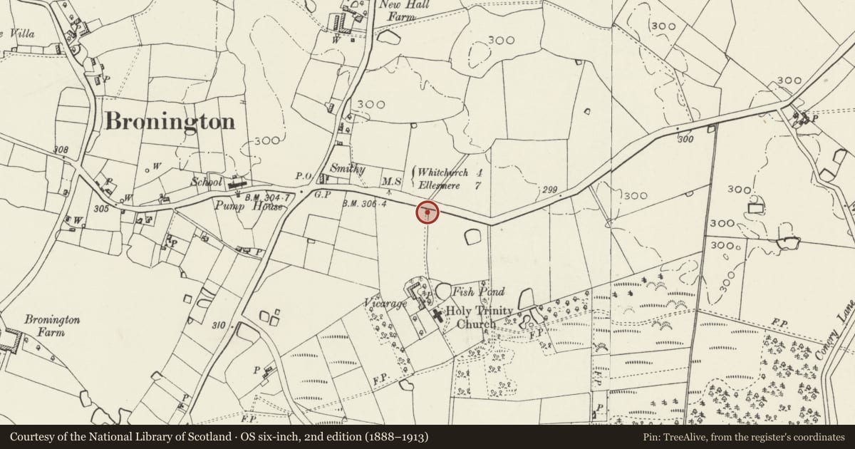
To the E of the village at the entrance to the drive to Bronington church.
Exterior
A 1914-18 war memorial comprising a freestone cross on a square base and stepped plinth. The base has a metal plaque with a memorial inscription. The tapering octagonal shaft is surmounted by a Celtic cross. The surround has panelled cast-iron posts with crocketed finials, and chains.
Reason for designation
Listed for its social-historical interest and as a modest but well-detailed public memorial in a prominent location.
Nearby in the register
- The Vicarage, including attached garden wallNo class recordedunder 1 mi
- Church of the Holy TrinityReligious, Ritual and Funeraryunder 1 mi
- New Hall FarmhouseNo class recordedunder 1 mi
- Maesllwyn HouseDomesticunder 1 mi
Other entries of the same register within about three miles of this one, by straight line.