Cof Cymru: National Historic Assets of Wales · Wales
Pentre
Llandysilio, Powys, Wales
A Grade II listed building in Llandysilio, Powys, designated on 5 April 1993.
The record
- Designation
- Listed building, Grade II
- Broad class
- Domestic
- Date of designation
- 5 April 1993
- Community
- Llandysilio
- Unitary authority
- Powys
- Country
- Wales
- Coordinates
- 52.76335, -3.02435
- Cadw reference
- 8535
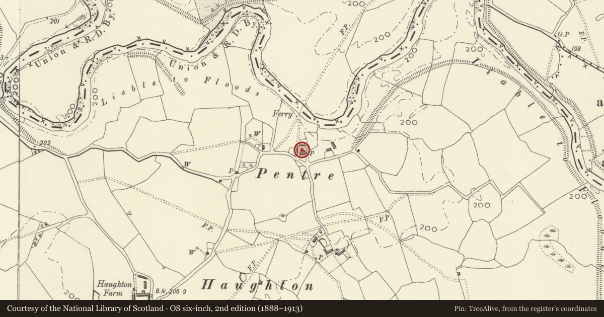
Slide toward Today to fade the historical sheet and see the modern map underneath.
David Rumsey Map Collection, Stanford LibrariesDavid Rumsey Map Collection, Stanford LibrariesDavid Rumsey Map Collection, Stanford LibrariesDavid Rumsey Map Collection, Stanford LibrariesDavid Rumsey Map Collection, Stanford Libraries
5 historical maps cover this location, the earliest the 1637 map "Particular description of Wales. Cambria seu Wallia" (David Rumsey Map Collection, Stanford Libraries).
Historical maps covering this location
- 1637 · Particular description of Wales. Cambria seu Wallia (David Rumsey Map Collection, Stanford Libraries)
- 1883 · Watershed map England, Wales 3. (David Rumsey Map Collection, Stanford Libraries)
- 1897 · 137 Oswestry (Hills) (David Rumsey Map Collection, Stanford Libraries)
- 1901 · Sheet 9 and 10. (David Rumsey Map Collection, Stanford Libraries)
- 1916 · Sheet 60. Shrewsbury. (David Rumsey Map Collection, Stanford Libraries)
Cadw's description
Location
Isolated position in Haughton, two-and-a-half miles north east of Four Crosses.
History
Probably C17.
Exterior
Rendered (over brick re-facing?), dentil eaves course, slate roof, small roof light. Two storeys, large square central ridge stack and brick end stack, rendered lean-to to rear. Four windows, all wood casements, ground floor ones under segmental arches; modern glazed door and modern conservatory porch.
Interior
Not fully inspected. Appears to be chambered hall house; exposed chamfered beams and ovolo-moulded lintel to fireplace on ground floor.
Nearby in the register
- Haughton GrangeDomesticunder 1 mi
- Calcott HallDomestic1 mi
- U-Plan outbuilding Ranges to N. & E. of Calcott HallDomestic1 mi
- New HallDomestic1 mi
Other entries of the same register within about three miles of this one, by straight line.