Cof Cymru: National Historic Assets of Wales · Wales
Clos
Llywel, Powys, Wales
A Grade II listed building in Cwmdwr, Llywel, Powys, designated on 26 August 2005.
The record
- Designation
- Listed building, Grade II
- Broad class
- Domestic
- Date of designation
- 26 August 2005
- Locality
- Cwmdwr
- Community
- Llywel
- Unitary authority
- Powys
- Country
- Wales
- Coordinates
- 51.96912, -3.67927
- Cadw reference
- 85271
Slide toward Today to fade the historical sheet and see the modern map underneath.
David Rumsey Map Collection, Stanford LibrariesDavid Rumsey Map Collection, Stanford LibrariesDavid Rumsey Map Collection, Stanford LibrariesDavid Rumsey Map Collection, Stanford LibrariesDavid Rumsey Map Collection, Stanford Libraries
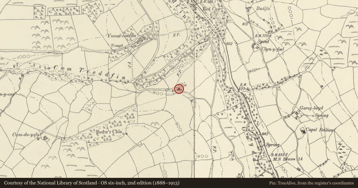
5 historical maps cover this location, the earliest the 1636 map "Cornubia : Devonia, Somersetus, Dorcestria, Wiltonia, Glocestria ..." (David Rumsey Map Collection, Stanford Libraries).
Historical maps covering this location
- 1636 · Cornubia : Devonia, Somersetus, Dorcestria, Wiltonia, Glocestria ... (David Rumsey Map Collection, Stanford Libraries)
- 1830 · V.3:11-15:XV. Britisches Reich. A. Kon: England. b. Frstenthum Wales: Shire: 37-40 (David Rumsey Map Collection, Stanford Libraries)
- 1856 · 42. Brecon. (David Rumsey Map Collection, Stanford Libraries)
- 1898 · 213 Brecon (Hills) (David Rumsey Map Collection, Stanford Libraries)
- 1901 · Sheet 14. (David Rumsey Map Collection, Stanford Libraries)
Cadw's description
Location
Situated on hillside to S of A 40, on side of lane running S from point about 2.5 km SE of Halfway.
History
Farmhouse, of uncertain date, possibly C17 from the central chimney and steep roofs, altered in the C19.
Exterior
Farmhouse, white painted render with imitation slates to steep roof with rendered central chimney. Two storeys, two 9-pane windows under the eaves one to left, one to right of centre, and ground floor 12-pane horned sash with timber lintel under left window, boarded door to left of centre, in line with chimney, under timber lintel, and 12-pane horned sash window with stone voussoirs, set to right of window above. Rock-faced stone sills. Rendered right end wall with 12-pane ground floor window. Rendered left end with door. No outshut to rear.
Interior
Interior not inspected.
Reason for designation
Included for its special historic interest as a rural house of regional character with centre chimney and lobby-entry plan.
Nearby in the register
- Milestone on A40 W of LlywelTransportunder 1 mi
- Milestone on A40 E of HalfwayTransportunder 1 mi
- Blaen Clydach Fach round cairnRound Cairnunder 1 mi
- Blaen Clydach Fach platform cairnPlatform Cairnunder 1 mi
Other entries of the same register within about three miles of this one, by straight line.