Cof Cymru: National Historic Assets of Wales · Wales
Canal Bridge No 163 and Cefn Brynich Lock Chamber
Llanfrynach, Powys, Wales
A Grade II listed building in Cefn Brynich, Brecon, Llanfrynach, Powys, designated on 28 July 2005.
The record
- Designation
- Listed building, Grade II
- Broad class
- Transport
- Date of designation
- 28 July 2005
- Locality
- Cefn Brynich
- Town
- Brecon
- Community
- Llanfrynach
- Unitary authority
- Powys
- Country
- Wales
- Coordinates
- 51.93688, -3.34367
- Cadw reference
- 84815
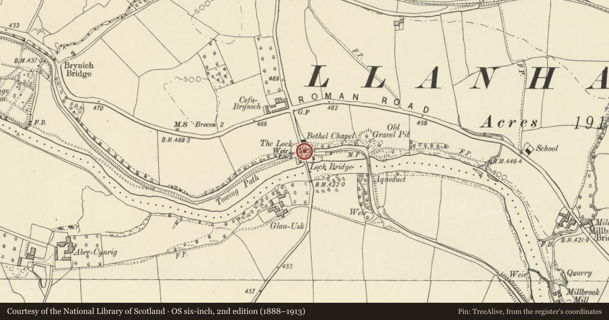
Slide toward Today to fade the historical sheet and see the modern map underneath.
David Rumsey Map Collection, Stanford LibrariesDavid Rumsey Map Collection, Stanford LibrariesDavid Rumsey Map Collection, Stanford LibrariesDavid Rumsey Map Collection, Stanford LibrariesDavid Rumsey Map Collection, Stanford Libraries
5 historical maps cover this location, the earliest the 1608 map "(13) Cambriae Typus." (David Rumsey Map Collection, Stanford Libraries).
Historical maps covering this location
- 1608 · (13) Cambriae Typus. (David Rumsey Map Collection, Stanford Libraries)
- 1636 · Cornubia : Devonia, Somersetus, Dorcestria, Wiltonia, Glocestria ... (David Rumsey Map Collection, Stanford Libraries)
- 1830 · V.3:11-15:XV. Britisches Reich. A. Kon: England. b. Frstenthum Wales: Shire: 37-40 (David Rumsey Map Collection, Stanford Libraries)
- 1856 · 42. Brecon. (David Rumsey Map Collection, Stanford Libraries)
- 1901 · Sheet 14. (David Rumsey Map Collection, Stanford Libraries)
Cadw's description
Location
Situated on W side of lane to Llanfrynach, just N of Lock Bridge over the Usk.
History
Bridge No 163 on the Brecon to Abergavenny Canal authorised 1793, this section built under Thomas Dadford Jr engineer in 1800.
Exterior
Canal bridge and lock chamber, squared rubble stone. Canal bridge has segmental arch with tooled stone voussoirs, springing from the higher walls of the lock. Rubble stone parapet sloping with the roadway. Iron plaque 163 on E side. Lock has side walls of squared stone and heavy squared stone copings.
Reason for designation
Listed for its special historic interest as a canal lock chamber and tail-lock bridge on this important canal.
Nearby in the register
- Lock HouseDomesticunder 1 mi
- Lock CottageDomesticunder 1 mi
- Lock Road BridgeTransportunder 1 mi
- Barn range at Cefn BrynichAgriculture and Subsistenceunder 1 mi
Other entries of the same register within about three miles of this one, by straight line.