Cof Cymru: National Historic Assets of Wales · Wales
33 Wexham Street
Beaumaris, Isle of Anglesey, Wales
A Grade II listed building in Beaumaris, Isle of Anglesey, designated on 13 July 2005.
The record
- Designation
- Listed building, Grade II
- Broad class
- No class recorded
- Date of designation
- 13 July 2005
- Locality
- Beaumaris
- Town
- Beaumaris
- Community
- Beaumaris
- Unitary authority
- Isle of Anglesey
- Country
- Wales
- Coordinates
- 53.26492, -4.09693
- Cadw reference
- 84721
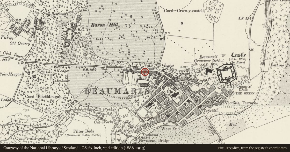
Slide toward Today to fade the historical sheet and see the modern map underneath.
David Rumsey Map Collection, Stanford LibrariesDavid Rumsey Map Collection, Stanford LibrariesDavid Rumsey Map Collection, Stanford LibrariesDavid Rumsey Map Collection, Stanford LibrariesDavid Rumsey Map Collection, Stanford Libraries
5 historical maps cover this location, the earliest the 1883 map "Watershed map England, Wales 3." (David Rumsey Map Collection, Stanford Libraries).
Historical maps covering this location
- 1883 · Watershed map England, Wales 3. (David Rumsey Map Collection, Stanford Libraries)
- 1896 · Sheet 7. Ordnance Survey of England and Wales. (David Rumsey Map Collection, Stanford Libraries)
- 1899 · 94 Beaumaris (Hills) (David Rumsey Map Collection, Stanford Libraries)
- 1901 · Sheet 9 and 10. (David Rumsey Map Collection, Stanford Libraries)
- 1919 · Sheet 41. Anglesey. (David Rumsey Map Collection, Stanford Libraries)
Cadw's description
Location
Fronting the street in a block of buildings on the W side of the junction with Stanley Street.
History
One of a pair of late C18 or early C19 cottages shown on the 1829 town plan. Originally vernacular in character, the front was remodelled later in the C19 by inserting sash windows and dormers. Sash windows and door in No 33 were replaced in the early C20.
Interior
Not inspected.
Reason for designation
Listed for its special architectural interest as an C18 vernacular cottage with C19 estate improvement, and for its contribution to the historical integrity of Wexham Street.
Nearby in the register
- 29&31 Wexham StreetDomesticunder 1 mi
- 35 Wexham StreetNo class recordedunder 1 mi
- Apple Tree CottageDomesticunder 1 mi
- 27 Wexham StreetNo class recordedunder 1 mi
Other entries of the same register within about three miles of this one, by straight line.