Cof Cymru: National Historic Assets of Wales · Wales
Cow house at Bryndinas
Tywyn, Gwynedd, Wales
A Grade II listed building in Cwm Maethlon (Happy Valley), Tywyn, Gwynedd, designated on 24 June 2005.
The record
- Designation
- Listed building, Grade II
- Broad class
- No class recorded
- Date of designation
- 24 June 2005
- Locality
- Cwm Maethlon (Happy Valley)
- Community
- Tywyn
- Unitary authority
- Gwynedd
- Country
- Wales
- Coordinates
- 52.56741, -4.01521
- Cadw reference
- 84539
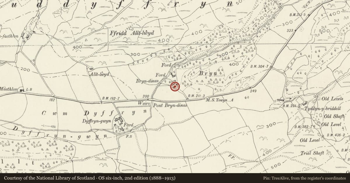
Slide toward Today to fade the historical sheet and see the modern map underneath.
David Rumsey Map Collection, Stanford LibrariesDavid Rumsey Map Collection, Stanford LibrariesDavid Rumsey Map Collection, Stanford LibrariesLlyfrgell Genedlaethol Cymru – The National Library of WalesDavid Rumsey Map Collection, Stanford Libraries
5 historical maps cover this location, the earliest the 1608 map "(13) Cambriae Typus." (David Rumsey Map Collection, Stanford Libraries).
Historical maps covering this location
- 1608 · (13) Cambriae Typus. (David Rumsey Map Collection, Stanford Libraries)
- 1795 · To Sir Watkin Williams-Wynn Bart ... the map of the six counties of North Wales is most… (Llyfrgell Genedlaethol Cymru – The National Library of Wales)
- 1830 · V.3:11-15:XV. Britisches Reich. A. Kon: England. b. Frstenthum Wales: Shire: 37-40 (David Rumsey Map Collection, Stanford Libraries)
- 1883 · Watershed map England, Wales 3. (David Rumsey Map Collection, Stanford Libraries)
- 1896 · Sheet 7. Ordnance Survey of England and Wales. (David Rumsey Map Collection, Stanford Libraries)
Cadw's description
Location
To the S of the house and the southernmost of 3 parallel farm ranges.
History
Probably built in the C18 and shown on the 1841 Tithe map.
Exterior
A rubble-stone animal house with corrugated iron roof. Facing the yard on the N side it has 2 replacement doors, of which the door R of centre is lower. In the L gable end is a loading doorway to a former loft. In the R gable end is a doorway with split boarded door.
Interior
The interior retains 2 C18 tie-beam trusses.
Reason for designation
listed for its special architectural interest as a well-preserved C18 farm building and, with the house and other listed farm buildings, as part of a strong farm group retaining historical integrity.
Nearby in the register
- Multi-purpose farm range at BryndinasNo class recordedunder 1 mi
- Cow house and hay store at BryndinasNo class recordedunder 1 mi
- Bryn DinasDomesticunder 1 mi
- Hen Dyffryn GwynDomesticunder 1 mi
Other entries of the same register within about three miles of this one, by straight line.