Cof Cymru: National Historic Assets of Wales · Wales
Cow house to SE of Hendre
Llangelynin, Gwynedd, Wales
A Grade II listed building in Llwyngwril, Llangelynin, Gwynedd, designated on 7 June 2005.
The record
- Designation
- Listed building, Grade II
- Broad class
- No class recorded
- Date of designation
- 7 June 2005
- Locality
- Llwyngwril
- Community
- Llangelynin
- Unitary authority
- Gwynedd
- Country
- Wales
- Coordinates
- 52.66798, -4.08317
- Cadw reference
- 84472
Slide toward Today to fade the historical sheet and see the modern map underneath.
David Rumsey Map Collection, Stanford LibrariesDavid Rumsey Map Collection, Stanford LibrariesDavid Rumsey Map Collection, Stanford LibrariesLlyfrgell Genedlaethol Cymru – The National Library of WalesDavid Rumsey Map Collection, Stanford Libraries
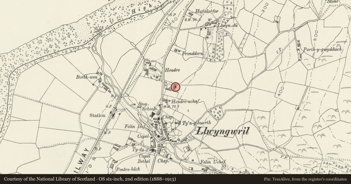
5 historical maps cover this location, the earliest the 1795 map "To Sir Watkin Williams-Wynn Bart ... the map of the six counties of North Wales is most humbly inscribed by his obedient humble servant" (Llyfrgell Genedlaethol Cymru – The National Library of Wales).
Historical maps covering this location
- 1795 · To Sir Watkin Williams-Wynn Bart ... the map of the six counties of North Wales is most… (Llyfrgell Genedlaethol Cymru – The National Library of Wales)
- 1883 · Watershed map England, Wales 3. (David Rumsey Map Collection, Stanford Libraries)
- 1896 · Sheet 7. Ordnance Survey of England and Wales. (David Rumsey Map Collection, Stanford Libraries)
- 1899 · 149 Barmouth (Hills) (David Rumsey Map Collection, Stanford Libraries)
- 1901 · Sheet 9 and 10. (David Rumsey Map Collection, Stanford Libraries)
Cadw's description
Location
Forming the E side of the farmyard on the opposite side of the road to the house.
History
Dated 1769 and originally part of Hendre Ucha Farm. Now part of Hendre Farm.
Exterior
A cow house of roughly coursed field-stone and renewed slate roof behind coped gables. It has 4 doorways, one of which bears the weathered date inscription on the lintel. Against the L gable end is a lean-to with graded-slate roof. It has a boarded door under a half-hipped roof, and 2 inserted windows in its side wall. The rear has a gable raised above the eaves, with loft window under a concrete lintel.
Interior
Not inspected.
Reason for designation
Listed for its special architectural interest as an exceptionally well-preserved C18 cow house of definite regional character, and forming part of a strong farm group.
Nearby in the register
- Multi-purpose farm building to SE of HendreNo class recordedunder 1 mi
- Multi-purpose farm building on NE side of HendreNo class recordedunder 1 mi
- HendreDomesticunder 1 mi
- TynantNo class recordedunder 1 mi
Other entries of the same register within about three miles of this one, by straight line.