Cof Cymru: National Historic Assets of Wales · Wales
Cefndyrys Farmhouse, including attached farm ranges
Llanelwedd, Powys, Wales
A Grade II listed building in Cefndyrys, Llanelwedd, Powys, designated on 18 February 2005.
The record
- Designation
- Listed building, Grade II
- Broad class
- No class recorded
- Date of designation
- 18 February 2005
- Locality
- Cefndyrys
- Community
- Llanelwedd
- Unitary authority
- Powys
- Country
- Wales
- Coordinates
- 52.16650, -3.40773
- Cadw reference
- 83710
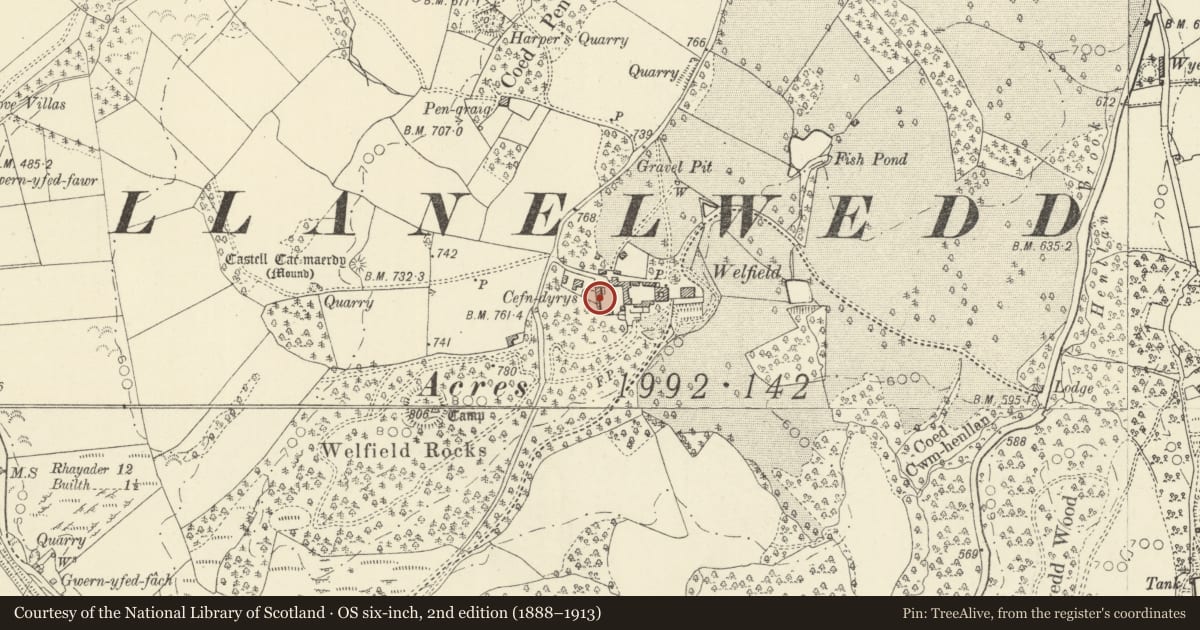
Slide toward Today to fade the historical sheet and see the modern map underneath.
David Rumsey Map Collection, Stanford LibrariesDavid Rumsey Map Collection, Stanford LibrariesDavid Rumsey Map Collection, Stanford LibrariesDavid Rumsey Map Collection, Stanford LibrariesDavid Rumsey Map Collection, Stanford Libraries
5 historical maps cover this location, the earliest the 1608 map "(13) Cambriae Typus." (David Rumsey Map Collection, Stanford Libraries).
Historical maps covering this location
- 1608 · (13) Cambriae Typus. (David Rumsey Map Collection, Stanford Libraries)
- 1637 · Particular description of Wales. Cambria seu Wallia (David Rumsey Map Collection, Stanford Libraries)
- 1883 · Watershed map England, Wales 3. (David Rumsey Map Collection, Stanford Libraries)
- 1899 · 196 Builth (Hills) (David Rumsey Map Collection, Stanford Libraries)
- 1901 · Sheet 14. (David Rumsey Map Collection, Stanford Libraries)
Cadw's description
Location
Cefndyrys Farm is to the W of the main house and the farmhouse forms the W side of the farmyard.
History
Probably built in the early C19 and shown on the 1845 Tithe map. The attached farm ranges are later, and are shown on the 1889 Ordnance Survey.
Exterior
A 2-storey 3-window house of rubble stone, slate roof and brick stack to the R. In the front (E) the openings are offset to the L side and the upper storey is weatherboarded. The entrance has a panelled door under a gabled canopy. To its L is a 12-pane horned sash window in a brick surround, and to its R a 3-light window incorporating a casement. The upper storey has small 2-light windows in earlier openings.
On the L (downhill) side is a lower lofted farm range of brick with weatherboarded loft and slate roof. It has a boarded cross-passage door to the R end adjacent to the house, then a 2-light small-pane window, a split boarded door and similar door to a large pen further L which is open above a coped brick dwarf wall. The loft has 2 boarded doors. Further L and set back is a lower range part weatherboarded and part replaced with corrugated iron sheets, stone gable end and corrugated iron roof. It has a central replacement door. Next L is a still lower weatherboarded range set back, also with corrugated iron roof, and 2 boarded doors.
The rear of the house has an added late C19 outshut in blue brick on the L side, to the R of which is an added blockwork porch.
Interior
Not inspected.
Reason for designation
Listed for its special architectural interest as a farmstead retaining definite C19 character, as part of a strong farm group and for its contribution to the historic integrity of the Cefndyrys estate.
Nearby in the register
- Multi-purpose farm ranges at Cefndyrys FarmNo class recordedunder 1 mi
- Stable block at CefndyrysDomesticunder 1 mi
- CefndyrysDomesticunder 1 mi
- Walls, revetment and steps to terrace on S side of CefndyrysNo class recordedunder 1 mi
Other entries of the same register within about three miles of this one, by straight line.