Cof Cymru: National Historic Assets of Wales · Wales
Former Stables and Coach-house at Dolenog
Llanidloes, Powys, Wales
A Grade II listed building in Llanidloes, Powys, designated on 10 April 1989.
The record
- Designation
- Listed building, Grade II
- Broad class
- Domestic
- Date of designation
- 10 April 1989
- Community
- Llanidloes
- Unitary authority
- Powys
- Country
- Wales
- Coordinates
- 52.44374, -3.55445
- Cadw reference
- 8352
Slide toward Today to fade the historical sheet and see the modern map underneath.
David Rumsey Map Collection, Stanford LibrariesDavid Rumsey Map Collection, Stanford LibrariesDavid Rumsey Map Collection, Stanford LibrariesDavid Rumsey Map Collection, Stanford LibrariesDavid Rumsey Map Collection, Stanford Libraries
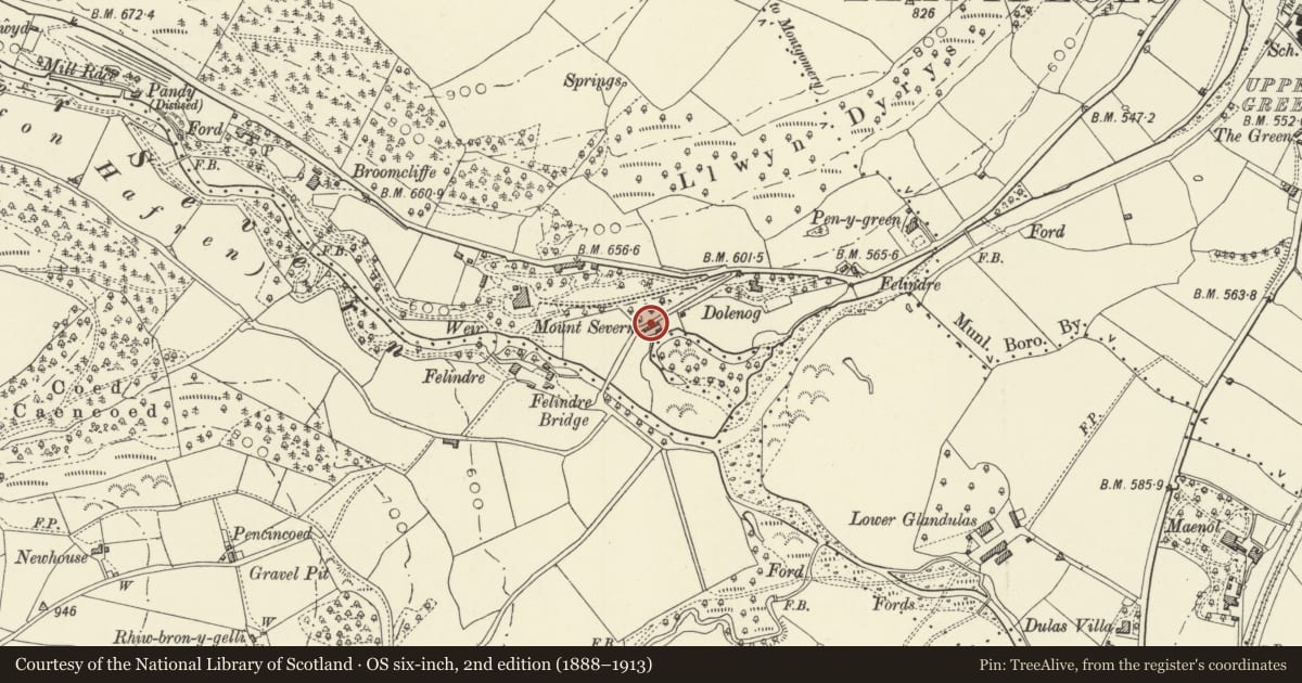
5 historical maps cover this location, the earliest the 1608 map "(13) Cambriae Typus." (David Rumsey Map Collection, Stanford Libraries).
Historical maps covering this location
- 1608 · (13) Cambriae Typus. (David Rumsey Map Collection, Stanford Libraries)
- 1637 · Particular description of Wales. Cambria seu Wallia (David Rumsey Map Collection, Stanford Libraries)
- 1883 · Watershed map England, Wales 3. (David Rumsey Map Collection, Stanford Libraries)
- 1899 · 164 Llanidloes (Hills) (David Rumsey Map Collection, Stanford Libraries)
- 1901 · Sheet 14. (David Rumsey Map Collection, Stanford Libraries)
Cadw's description
Location
Set in the slope a short distance to SW of Dolenog house, backing onto the by-road down to Felindre from which there is a gated entry. It is the northern range of a narrow stableyard.
Exterior
Contemporary with the house (1837-39). Comprises coachman's accommodation to left, stables to centre and coachhouse to right. The half-timbered front is covered in corrugated iron with boarding and stone plinth to the base; wattle and daub visible from the inside. Slightly undulating slate roof with overhanging eaves and brick chimney stack to left end. Rubble asymmetrical left gable end with casement window and cambered voussoirs. Rubble rear with 3 boarded door loft openings. 2 sections of garden wall are attached beyond.
Reason for designation
Included for group value with Dolenog House.
Nearby in the register
- Felindre BridgeTransportunder 1 mi
- Felindre Bridge (partly in Llanidloes community)No class recordedunder 1 mi
- DolenogDomesticunder 1 mi
- Mount SevernRecreationalunder 1 mi
Other entries of the same register within about three miles of this one, by straight line.