Cof Cymru: National Historic Assets of Wales · Wales
Tynycwm
Beguildy, Powys, Wales
A Grade II listed building in Crug-y-Byddar, Beguildy, Powys, designated on 24 August 2004.
The record
- Designation
- Listed building, Grade II
- Broad class
- No class recorded
- Date of designation
- 24 August 2004
- Locality
- Crug-y-Byddar
- Community
- Beguildy
- Unitary authority
- Powys
- Country
- Wales
- Coordinates
- 52.44110, -3.24169
- Cadw reference
- 83074
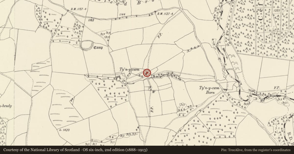
Slide toward Today to fade the historical sheet and see the modern map underneath.
David Rumsey Map Collection, Stanford LibrariesDavid Rumsey Map Collection, Stanford LibrariesDavid Rumsey Map Collection, Stanford LibrariesDavid Rumsey Map Collection, Stanford LibrariesDavid Rumsey Map Collection, Stanford Libraries
5 historical maps cover this location, the earliest the 1608 map "(13) Cambriae Typus." (David Rumsey Map Collection, Stanford Libraries).
Historical maps covering this location
- 1608 · (13) Cambriae Typus. (David Rumsey Map Collection, Stanford Libraries)
- 1637 · Particular description of Wales. Cambria seu Wallia (David Rumsey Map Collection, Stanford Libraries)
- 1883 · Watershed map England, Wales 3. (David Rumsey Map Collection, Stanford Libraries)
- 1899 · 165 Montgomery (Hills) (David Rumsey Map Collection, Stanford Libraries)
- 1901 · Sheet 14. (David Rumsey Map Collection, Stanford Libraries)
Cadw's description
Location
Approximately 1.3km N of Crug-y-Byddar church, reached by farm track on the W side of a minor road between Felindre and Anchor.
History
A mid C19 farmhouse first shown on the 1889 Ordnance Survey.
Exterior
A 2-storey house of rubble stone with slate roof and brick stacks R of centre and to the L end. The 4-window front has openings grouped 3+1 that includes, on the R side, a single-unit back kitchen with entrance in the gable end. The front entrance is central to the main group of windows and has a replaced part-glazed door. Windows are 2-light casements, under stone segmental heads in the lower storey, shorter and beneath the eaves in the upper storey. The window above the entrance is also narrower. The R gable end has a segmental-headed doorway with boarded door, above which is an inserted window. The L gable end has a segmental-headed cellar opening.
Interior
Not inspected.
Reason for designation
Listed for its special architectural interest as an almost unaltered mid C19 farmhouse, a type once common but rarely well preserved in this region.
Nearby in the register
- Ty'n-y-Cwm CampEnclosureunder 1 mi
- Llethrau CampEnclosureunder 1 mi
- Crugyn Tump Castle MoundMotte1 mi
- Kerry Hill Stone CircleStone Circle2 mi
Other entries of the same register within about three miles of this one, by straight line.