Cof Cymru: National Historic Assets of Wales · Wales
Tancoed
Llandovery, Carmarthenshire, Wales
A Grade II listed building in Llandovery, Carmarthenshire, designated on 26 February 1981.
The record
- Designation
- Listed building, Grade II
- Broad class
- Domestic
- Date of designation
- 26 February 1981
- Community
- Llandovery
- Unitary authority
- Carmarthenshire
- Country
- Wales
- Coordinates
- 51.99324, -3.79862
- Cadw reference
- 82901
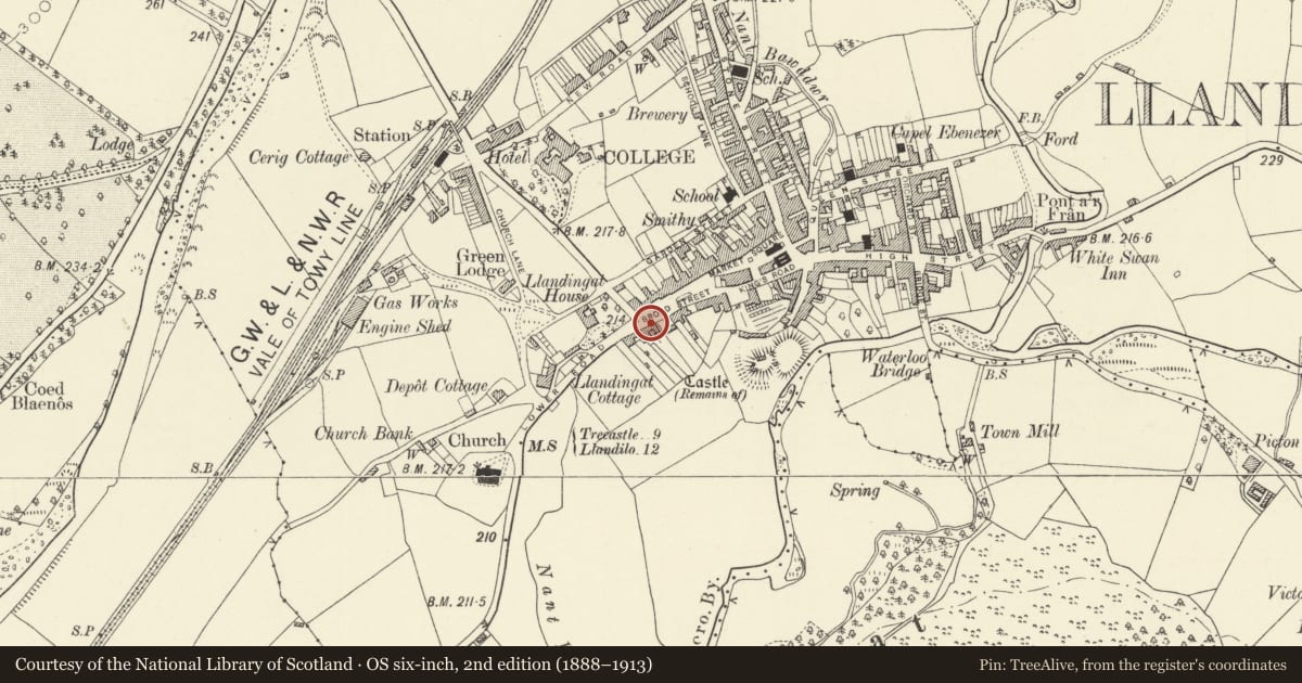
Slide toward Today to fade the historical sheet and see the modern map underneath.
David Rumsey Map Collection, Stanford LibrariesDavid Rumsey Map Collection, Stanford LibrariesDavid Rumsey Map Collection, Stanford LibrariesDavid Rumsey Map Collection, Stanford LibrariesDavid Rumsey Map Collection, Stanford Libraries
5 historical maps cover this location, the earliest the 1860 map "41. Caermathen." (David Rumsey Map Collection, Stanford Libraries).
Historical maps covering this location
- 1860 · 41. Caermathen. (David Rumsey Map Collection, Stanford Libraries)
- 1891 · Sheet 10. Ordnance Survey of England and Wales. . (David Rumsey Map Collection, Stanford Libraries)
- 1898 · 212 Llandovery (Outline) (David Rumsey Map Collection, Stanford Libraries)
- 1898 · 212 Llandovery (Hills) (David Rumsey Map Collection, Stanford Libraries)
- 1901 · Sheet 14. (David Rumsey Map Collection, Stanford Libraries)
Cadw's description
Location
Situated the second house in terraced row c5m SW of junction with entrance to car park.
History
C19 pair with No 14, marked in rate books 1836-66 as owned by W Williams, but probably altered or rebuilt in 1890s for J James of Penygawse, draper.
Exterior
C19 house, mirrored pair with No 14 "Frankville". Two bays, 2 storeys with slate gabled roof and chimney to right. Bracketed eaves. Painted stucco facade with plinth and long and short quoins to right. Four-pane horned sashes to 1st floor, 2-4-2-pane canted bay window with dentil cornice to right on ground floor and to left a 4-panelled door (2 raised and fielded, 2 flush) with rectangular overlight in shallow panelled recess in case of panelled pilasters and consoles carrying flat cornice, doorcase paired with that of No 14.
Reason for designation
Included as part of a row of Victorian terraced houses with good surviving detail - well preserved examples of a characteristic C19 urban building type.
Nearby in the register
- FrankvilleDomesticunder 1 mi
- BellevueDomesticunder 1 mi
- GrantaDomesticunder 1 mi
- Clarence HouseDomesticunder 1 mi
Other entries of the same register within about three miles of this one, by straight line.