Cof Cymru: National Historic Assets of Wales · Wales
Cartshed at Great Westfield
Rosemarket, Pembrokeshire, Wales
A Grade II listed building in Milford Haven, Rosemarket, Pembrokeshire, designated on 25 February 2004.
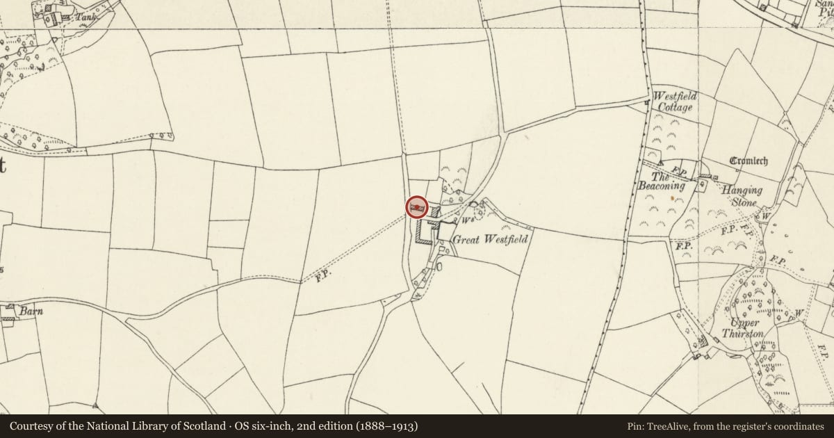
The record
- Designation
- Listed building, Grade II
- Broad class
- Agriculture and Subsistence
- Date of designation
- 25 February 2004
- Town
- Milford Haven
- Community
- Rosemarket
- Unitary authority
- Pembrokeshire
- Country
- Wales
- Coordinates
- 51.73523, -4.94807
- Cadw reference
- 82522
Slide toward Today to fade the historical sheet and see the modern map underneath.
David Rumsey Map Collection, Stanford LibrariesDavid Rumsey Map Collection, Stanford LibrariesDavid Rumsey Map Collection, Stanford LibrariesDavid Rumsey Map Collection, Stanford LibrariesDavid Rumsey Map Collection, Stanford Libraries
5 historical maps cover this location, the earliest the 1636 map "Cornubia : Devonia, Somersetus, Dorcestria, Wiltonia, Glocestria ..." (David Rumsey Map Collection, Stanford Libraries).
Historical maps covering this location
- 1636 · Cornubia : Devonia, Somersetus, Dorcestria, Wiltonia, Glocestria ... (David Rumsey Map Collection, Stanford Libraries)
- 1830 · V.3:11-15:XV. Britisches Reich. A. Kon: England. b. Frstenthum Wales: Shire: 37-40 (David Rumsey Map Collection, Stanford Libraries)
- 1891 · Sheet 10. Ordnance Survey of England and Wales. . (David Rumsey Map Collection, Stanford Libraries)
- 1898 · 228 Haverfordwest (Hills) (David Rumsey Map Collection, Stanford Libraries)
- 1901 · Sheet 13. (David Rumsey Map Collection, Stanford Libraries)
Cadw's description
Location
On the W side of the farmyard just S of the house at Great Westfield.
History
Earlier C19 long cartshed range to Great Westfield.
Exterior
Cartshed range, rubble stone and red brick with slate gabled roof. Single storey with red brick dressings to openings. A door to left, then window and door to a stable immediately left of row of 5 large open bays with brick piers and elliptical arches and finally an entry of similar size to an enclosed coach-house with brick arch and jambs. Right gable end has tiers of red brick dove holes.
Interior
Open main part with thin collar trusses, the collars fixed with iron bolted staples.
Reason for designation
Included as a fine early C19 estate cartshed with good brick detail. Group Value with Great Westfield.
Nearby in the register
- Great WestfieldDomesticunder 1 mi
- Burton Burial ChamberChambered Tombunder 1 mi
- Rosemarket dovecoteDomesticunder 1 mi
- Rosemarket Dovecotdovecoteunder 1 mi
Other entries of the same register within about three miles of this one, by straight line.