Cof Cymru: National Historic Assets of Wales · Wales
Barn at Crugau
Glynneath, Neath Port Talbot, Wales
A Grade II listed building in Resolven, Neath, Glynneath, Neath Port Talbot, designated on 30 January 2004.
The record
- Designation
- Listed building, Grade II
- Broad class
- Agriculture and Subsistence
- Date of designation
- 30 January 2004
- Locality
- Resolven
- Town
- Neath
- Community
- Glynneath
- Unitary authority
- Neath Port Talbot
- Country
- Wales
- Coordinates
- 51.71969, -3.68907
- Cadw reference
- 82452
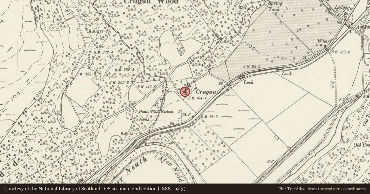
Slide toward Today to fade the historical sheet and see the modern map underneath.
David Rumsey Map Collection, Stanford LibrariesDavid Rumsey Map Collection, Stanford LibrariesDavid Rumsey Map Collection, Stanford LibrariesDavid Rumsey Map Collection, Stanford LibrariesDavid Rumsey Map Collection, Stanford Libraries
5 historical maps cover this location, the earliest the 1636 map "Cornubia : Devonia, Somersetus, Dorcestria, Wiltonia, Glocestria ..." (David Rumsey Map Collection, Stanford Libraries).
Historical maps covering this location
- 1636 · Cornubia : Devonia, Somersetus, Dorcestria, Wiltonia, Glocestria ... (David Rumsey Map Collection, Stanford Libraries)
- 1637 · The fourth table of England. Cornub. Devonia, Somerset etc. (David Rumsey Map Collection, Stanford Libraries)
- 1830 · V.3:11-15:XV. Britisches Reich. A. Kon: England. b. Frstenthum Wales: Shire: 37-40 (David Rumsey Map Collection, Stanford Libraries)
- 1865 · England and Wales. England No. 6. (David Rumsey Map Collection, Stanford Libraries)
- 1898 · 231 Merthyr Tydfil (Hills) (David Rumsey Map Collection, Stanford Libraries)
Cadw's description
Location
Situated some 35m SW from the farmhouse.
History
Barn dated ID 1830 of unusually fine construction, with stone slabs to flat eaves soffits.
Exterior
Barn built of thin squared stone with slate roof unusually deeply eaved with stone slab eaves soffits. Front has openings set to right, cambered arch to barn dated ID 1830 on keystone, with hoodmould. Window each side with triangular-faced block projecting over timber lintel. Windowless wall to left. Left end gable has two blocked arched openings to ground floor, the left one a window the right one a door and a central arched opening above with raised impost and keyblocks. Small stone shelf over upper opening. Rear has similar barn entry with hoodmould.
Reason for designation
Included as a particularly well-detailed early C19 barn having group value with the farmhouse.
Nearby in the register
- CrugauDomesticunder 1 mi
- Milestone on B4242 near CrugauTransportunder 1 mi
- Bridge over Neath Canal near CrugauTransportunder 1 mi
- Rheola HouseDomesticunder 1 mi
Other entries of the same register within about three miles of this one, by straight line.