Cof Cymru: National Historic Assets of Wales · Wales
Lychgate to Church of St Mary
Carmarthen, Carmarthenshire, Wales
A Grade II listed building in Llanllwch, Carmarthen, Carmarthenshire, designated on 28 November 2003.
The record
- Designation
- Listed building, Grade II
- Broad class
- Religious, Ritual and Funerary
- Date of designation
- 28 November 2003
- Locality
- Llanllwch
- Community
- Carmarthen
- Unitary authority
- Carmarthenshire
- Country
- Wales
- Coordinates
- 51.84446, -4.34434
- Cadw reference
- 82165
Slide toward Today to fade the historical sheet and see the modern map underneath.
David Rumsey Map Collection, Stanford LibrariesDavid Rumsey Map Collection, Stanford LibrariesDavid Rumsey Map Collection, Stanford LibrariesDavid Rumsey Map Collection, Stanford LibrariesDavid Rumsey Map Collection, Stanford Libraries
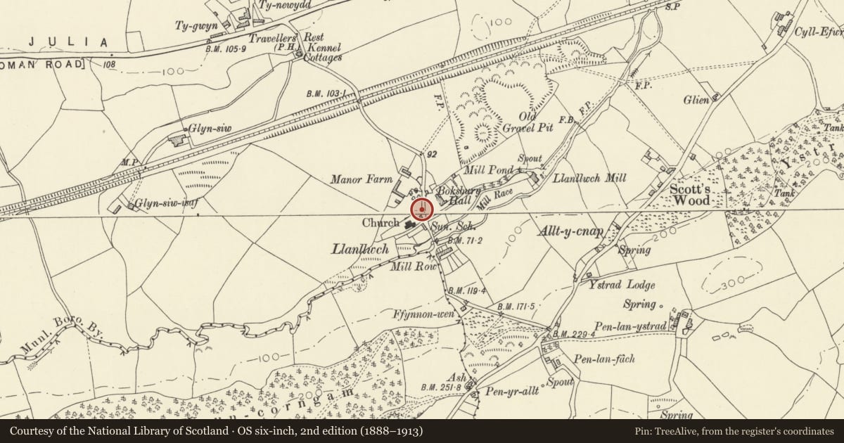
5 historical maps cover this location, the earliest the 1636 map "Cornubia : Devonia, Somersetus, Dorcestria, Wiltonia, Glocestria ..." (David Rumsey Map Collection, Stanford Libraries).
Historical maps covering this location
- 1636 · Cornubia : Devonia, Somersetus, Dorcestria, Wiltonia, Glocestria ... (David Rumsey Map Collection, Stanford Libraries)
- 1860 · 41. Caermathen. (David Rumsey Map Collection, Stanford Libraries)
- 1891 · Sheet 10. Ordnance Survey of England and Wales. . (David Rumsey Map Collection, Stanford Libraries)
- 1898 · 229 Carmarthen (Hills) (David Rumsey Map Collection, Stanford Libraries)
- 1901 · Sheet 14. (David Rumsey Map Collection, Stanford Libraries)
Cadw's description
Location
Situated at E entry to churchyard in Llanllwch village.
History
C20 timber lychgate, probably post 1945.
Exterior
Lychgate, open timber-frame on low stone walls with slate gabled roof with plain bargeboards. Broad centre opening each end with narrow panel each side and vertical framing in gable. Sides have vertical posts, the outer ones with big brackets supporting outer rafters. Double wooden gates.
Reason for designation
Included for group value with the Church of St Mary.
Nearby in the register
- Former National SchoolEducationunder 1 mi
- Church of St MaryReligious, Ritual and Funeraryunder 1 mi
- Boksburg HallDomesticunder 1 mi
- Barn to SW of Pontgarreg CottageAgriculture and Subsistenceunder 1 mi
Other entries of the same register within about three miles of this one, by straight line.