Cof Cymru: National Historic Assets of Wales · Wales
Milford Villa
Newtown and Llanllwchaiarn, Powys, Wales
A Grade II listed building in Milford, Newtown and Llanllwchaiarn, Powys, designated on 9 May 1988.
The record
- Designation
- Listed building, Grade II
- Broad class
- Domestic
- Date of designation
- 9 May 1988
- Locality
- Milford
- Community
- Newtown and Llanllwchaiarn
- Unitary authority
- Powys
- Country
- Wales
- Coordinates
- 52.51168, -3.33637
- Cadw reference
- 8209
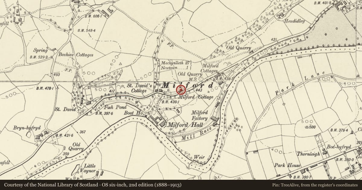
Slide toward Today to fade the historical sheet and see the modern map underneath.
David Rumsey Map Collection, Stanford LibrariesDavid Rumsey Map Collection, Stanford LibrariesDavid Rumsey Map Collection, Stanford LibrariesDavid Rumsey Map Collection, Stanford LibrariesDavid Rumsey Map Collection, Stanford Libraries
5 historical maps cover this location, the earliest the 1608 map "(13) Cambriae Typus." (David Rumsey Map Collection, Stanford Libraries).
Historical maps covering this location
- 1608 · (13) Cambriae Typus. (David Rumsey Map Collection, Stanford Libraries)
- 1637 · Particular description of Wales. Cambria seu Wallia (David Rumsey Map Collection, Stanford Libraries)
- 1883 · Watershed map England, Wales 3. (David Rumsey Map Collection, Stanford Libraries)
- 1899 · 165 Montgomery (Hills) (David Rumsey Map Collection, Stanford Libraries)
- 1901 · Sheet 14. (David Rumsey Map Collection, Stanford Libraries)
Cadw's description
Location
100 yards east from lane to Milford Hall.
History
Early-Mid C19
Exterior
2 storey, 3 window house. Painted English garden wall bond brick. Gabled slate roof, saw tooth eaves cornice. Later ornamental bargeboards with finials. Brick stacks.
6 pane sash windows to 1st floor. Shallow upper sash to 9 pane ground floor windows. Brick voussoirs, plain reveals, stone sills.
Good ironwork open porch with cresting. Part-glazed panelled door, 3 light rectangular fanlight over.
Iron railings set upon brick wall to front, gate to centre. Later parallel kitchen range to left on rear, steeper roof. Left end elevation slate hung.
Nearby in the register
- Milford HallDomesticunder 1 mi
- Stables at Milford HallDomesticunder 1 mi
- Coach House at Milford HallDomesticunder 1 mi
- Friends Meeting House (Cwrt Plas-yn-dre)Religious, Ritual and Funeraryunder 1 mi
Other entries of the same register within about three miles of this one, by straight line.