Cof Cymru: National Historic Assets of Wales · Wales
Dome gunnery trainer at Pembrey Airfield
Pembrey and Burry Port Town, Carmarthenshire, Wales
A Grade II* listed building in Pembrey Airfield, Pembrey and Burry Port Town, Carmarthenshire, designated on 25 November 2003.
The record
- Designation
- Listed building, Grade II*
- Broad class
- No class recorded
- Date of designation
- 25 November 2003
- Locality
- Pembrey Airfield
- Community
- Pembrey and Burry Port Town
- Unitary authority
- Carmarthenshire
- Country
- Wales
- Coordinates
- 51.70950, -4.30620
- Cadw reference
- 82066
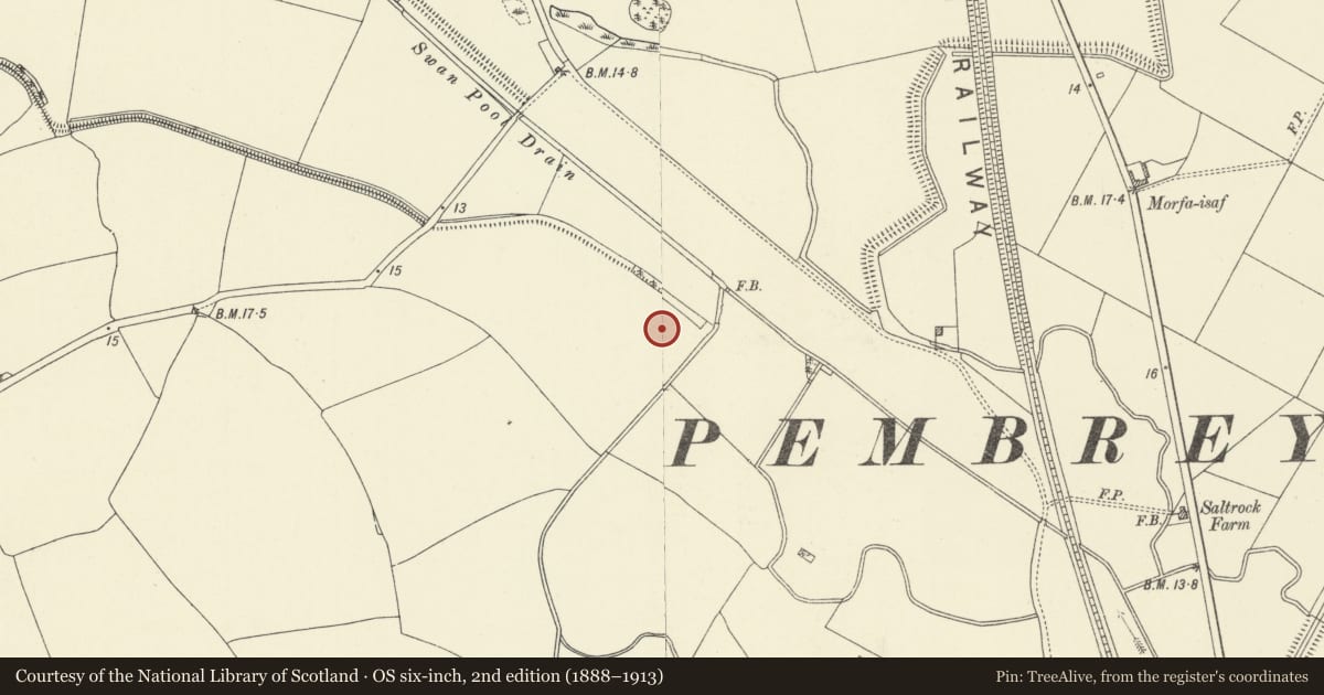
Slide toward Today to fade the historical sheet and see the modern map underneath.
David Rumsey Map Collection, Stanford LibrariesDavid Rumsey Map Collection, Stanford LibrariesDavid Rumsey Map Collection, Stanford LibrariesDavid Rumsey Map Collection, Stanford LibrariesDavid Rumsey Map Collection, Stanford Libraries
5 historical maps cover this location, the earliest the 1636 map "Cornubia : Devonia, Somersetus, Dorcestria, Wiltonia, Glocestria ..." (David Rumsey Map Collection, Stanford Libraries).
Historical maps covering this location
- 1636 · Cornubia : Devonia, Somersetus, Dorcestria, Wiltonia, Glocestria ... (David Rumsey Map Collection, Stanford Libraries)
- 1637 · The fourth table of England. Cornub. Devonia, Somerset etc. (David Rumsey Map Collection, Stanford Libraries)
- 1891 · Sheet 10. Ordnance Survey of England and Wales. . (David Rumsey Map Collection, Stanford Libraries)
- 1898 · 229 Carmarthen (Hills) (David Rumsey Map Collection, Stanford Libraries)
- 1920 · Sheet 100. Llanelly. (David Rumsey Map Collection, Stanford Libraries)
Cadw's description
Location
In a field on the E side of the former airfield, approximately 550m NW of Brooklands Farmhouse.
History
Erected c1941 and used as a simulator to train air gunners in shooting down enemy fighters. The interior was originally whitewashed and lights projected on to the domed roof simulated aircraft lights, while a 'gun' was used to fire a light beam.
Exterior
An igloo-shaped domed structure approximately 10m high, of concrete with rendered exterior (partly fallen away to expose steel reinforcement). On the SW side is a lintelled doorway.
Interior
The entrance leads into a single domed chamber. The metal framework of a former screen above the doorway has survived, but the interior has been stripped of its original wall surfaces.
Reason for designation
Listed in a high grade for its exceptional historic interest as the only surviving World War II air defence simulator in Wales.
Scheduled Ancient Monument Cm 248.
Nearby in the register
- Dome Gunnery Trainer, Pembrey AirfieldGunnery Training Domeunder 1 mi
- Milepost on A484 S of Lakelands BungalowNo class recordedunder 1 mi
- Garreg Lwyd Enclosure 600m SE of Crosslane CottagesEnclosure1 mi
- Cae Newydd Railway BridgeTransport1 mi
Other entries of the same register within about three miles of this one, by straight line.