Cof Cymru: National Historic Assets of Wales · Wales
Circular pigsty at Blaendulais Farm
Seven Sisters, Neath Port Talbot, Wales
A Grade II listed building in Neath, Seven Sisters, Neath Port Talbot, designated on 6 November 2003.
The record
- Designation
- Listed building, Grade II
- Broad class
- Agriculture and Subsistence
- Date of designation
- 6 November 2003
- Town
- Neath
- Community
- Seven Sisters
- Unitary authority
- Neath Port Talbot
- Country
- Wales
- Coordinates
- 51.76579, -3.71925
- Cadw reference
- 82048
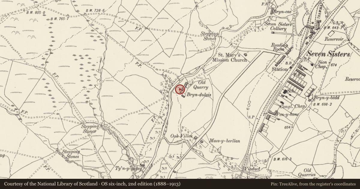
Slide toward Today to fade the historical sheet and see the modern map underneath.
David Rumsey Map Collection, Stanford LibrariesDavid Rumsey Map Collection, Stanford LibrariesDavid Rumsey Map Collection, Stanford LibrariesDavid Rumsey Map Collection, Stanford LibrariesDavid Rumsey Map Collection, Stanford Libraries
5 historical maps cover this location, the earliest the 1608 map "(13) Cambriae Typus." (David Rumsey Map Collection, Stanford Libraries).
Historical maps covering this location
- 1608 · (13) Cambriae Typus. (David Rumsey Map Collection, Stanford Libraries)
- 1636 · Cornubia : Devonia, Somersetus, Dorcestria, Wiltonia, Glocestria ... (David Rumsey Map Collection, Stanford Libraries)
- 1637 · The fourth table of England. Cornub. Devonia, Somerset etc. (David Rumsey Map Collection, Stanford Libraries)
- 1830 · V.3:11-15:XV. Britisches Reich. A. Kon: England. b. Frstenthum Wales: Shire: 37-40 (David Rumsey Map Collection, Stanford Libraries)
- 1898 · 231 Merthyr Tydfil (Hills) (David Rumsey Map Collection, Stanford Libraries)
Cadw's description
Location
On the E side of the farmyard and just S of the house at Blaendulais Farm.
History
Late C18 or early C19 corbelled pigsty. The date range for this style of pigsty in Glamorgan is uncertain, but they are noted as early as 1796 by travellers and the latest dated example is 1856 in Gwent.
Exterior
Circular pigsty, rubble stone in courses of thin stones with little mortar, rendered and probably originally whitewashed. Circular plan, battered walls curving in to pointed dome roof constructed by slightly corbelling in each successive course and the apex capped with a curved finial stone. Narrow door with iron lintels. On S side tiny window with projecting stone lintel.
Reason for designation
Included as a very rare and unusual example of a disappearing building type using and ancient form of construction.
Nearby in the register
- The War MemorialCommemorativeunder 1 mi
- Tramroad at YstradgynlaisTramroadunder 1 mi
- Bryn Llechwen ring cairnRing Cairnunder 1 mi
- Carn Cornel Round CairnRound Cairn2 mi
Other entries of the same register within about three miles of this one, by straight line.