Cof Cymru: National Historic Assets of Wales · Wales
Lofted Outbuilding at Llangedwyn Hall
Llangedwyn, Powys, Wales
A Grade II listed building in Llangedwyn, Powys, designated on 23 October 2003.
The record
- Designation
- Listed building, Grade II
- Broad class
- Domestic
- Date of designation
- 23 October 2003
- Locality
- Llangedwyn
- Community
- Llangedwyn
- Unitary authority
- Powys
- Country
- Wales
- Coordinates
- 52.81164, -3.20547
- Cadw reference
- 81943
Slide toward Today to fade the historical sheet and see the modern map underneath.
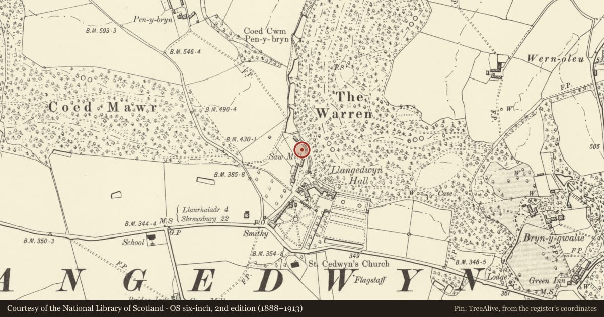
David Rumsey Map Collection, Stanford LibrariesDavid Rumsey Map Collection, Stanford LibrariesDavid Rumsey Map Collection, Stanford LibrariesDavid Rumsey Map Collection, Stanford LibrariesLlyfrgell Genedlaethol Cymru – The National Library of Wales
5 historical maps cover this location, the earliest the 1795 map "To Sir Watkin Williams-Wynn Bart ... the map of the six counties of North Wales is most humbly inscribed by his obedient humble servant" (Llyfrgell Genedlaethol Cymru – The National Library of Wales).
Historical maps covering this location
- 1795 · To Sir Watkin Williams-Wynn Bart ... the map of the six counties of North Wales is most… (Llyfrgell Genedlaethol Cymru – The National Library of Wales)
- 1883 · Watershed map England, Wales 3. (David Rumsey Map Collection, Stanford Libraries)
- 1897 · 137 Oswestry (Hills) (David Rumsey Map Collection, Stanford Libraries)
- 1901 · Sheet 9 and 10. (David Rumsey Map Collection, Stanford Libraries)
- 1916 · Sheet 60. Shrewsbury. (David Rumsey Map Collection, Stanford Libraries)
Cadw's description
Location
To east side of private road, to north-west of Llangedwyn Hall.
History
The block carries a stone with the initials and date LAWW 1907; part of a comprehensive scheme of stableyard and farmyard improvements contemporary with the 1906/7 stables ranges to the south.
Exterior
A lofted quasi-symmetrical range of farm outbuildings in uncoursed local shaley stone with dressings in red brick block-bonded to the stonework. Large cart or machinery shed opening at centre, now with boarded infill and a door; loft hatch centred above. To left one door and window, to right one door and two windows plus another loft hatch. Single storey detached building to north. The range repeats the architectural character of the main stables range to the south.
Reason for designation
Part of a comprehensive and largely unaltered set of early C20 stabling and farmyard buildings, in association with an important house; also listed for group value with the other early C20 outbuildings of Llangedwyn Hall.
Nearby in the register
- Lofted Shed Range at Llangedwyn HallDomesticunder 1 mi
- North Stables Range with Cottages at Llangedwyn HallDomesticunder 1 mi
- Stable Block at Llangedwyn HallDomesticunder 1 mi
- Llangedwyn HallDomesticunder 1 mi
Other entries of the same register within about three miles of this one, by straight line.