Cof Cymru: National Historic Assets of Wales · Wales
Park House
Newtown and Llanllwchaiarn, Powys, Wales
A Grade II listed building in Newtown and Llanllwchaiarn, Powys, designated on 9 May 1988.
The record
- Designation
- Listed building, Grade II
- Broad class
- Domestic
- Date of designation
- 9 May 1988
- Community
- Newtown and Llanllwchaiarn
- Unitary authority
- Powys
- Country
- Wales
- Coordinates
- 52.51224, -3.31715
- Cadw reference
- 8162
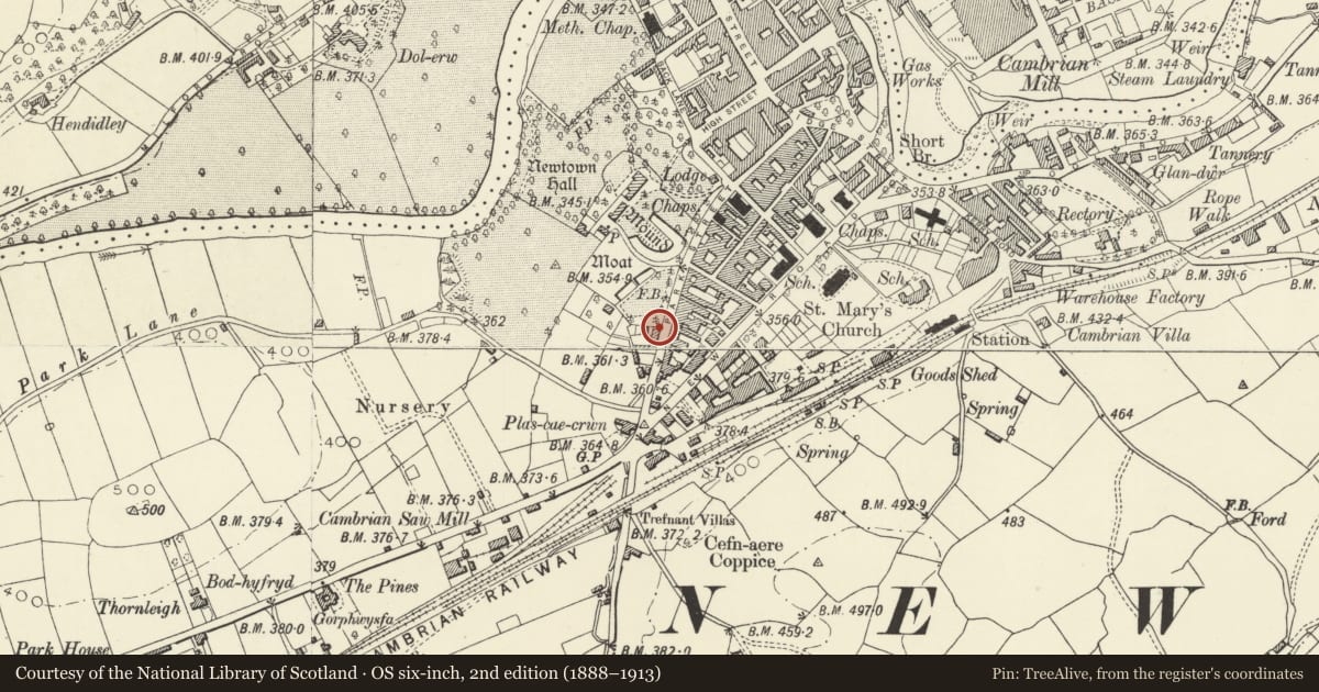
Slide toward Today to fade the historical sheet and see the modern map underneath.
David Rumsey Map Collection, Stanford LibrariesDavid Rumsey Map Collection, Stanford LibrariesDavid Rumsey Map Collection, Stanford LibrariesDavid Rumsey Map Collection, Stanford LibrariesDavid Rumsey Map Collection, Stanford Libraries
5 historical maps cover this location, the earliest the 1608 map "(13) Cambriae Typus." (David Rumsey Map Collection, Stanford Libraries).
Historical maps covering this location
- 1608 · (13) Cambriae Typus. (David Rumsey Map Collection, Stanford Libraries)
- 1637 · Particular description of Wales. Cambria seu Wallia (David Rumsey Map Collection, Stanford Libraries)
- 1883 · Watershed map England, Wales 3. (David Rumsey Map Collection, Stanford Libraries)
- 1899 · 165 Montgomery (Hills) (David Rumsey Map Collection, Stanford Libraries)
- 1901 · Sheet 14. (David Rumsey Map Collection, Stanford Libraries)
Cadw's description
Location
On the street line near the Area Health Clinics.
History
Early C19, Georgian.
Exterior
3 storey, 2 window house. Painted Flemish bond brick. Gently pitched slate roof, lead ridge. Plain bargeboards, saw toothed eaves cornice. Projecting end stack to left - new cap. Right end wall angled back to former street line. Shallow small paned 2 light casements to 2nd floor windows flanking later small cut. 16 pane sash windows to 1st floor and ground floor right. Keystoned painted stone lintels; plain reveals, stone sills. Small modern window cut over door. C20 tripartite rectangular bay to left. Doorcase with bolection brackets to open pediment style hood. Rectangular fanlight, six panel door. Later C19 railings with gate to low forecourt wall. Keystone to round arched, brick vaulted, tunnel passage to extreme left. Rear elevation slate hung; casement windows.
Reason for designation
Group value with No 1 Park Place.
Nearby in the register
- Park PlaceDomesticunder 1 mi
- part of the Cross Guns InnCommercialunder 1 mi
- Cross Guns InnCommercialunder 1 mi
- 37 Park StreetDomesticunder 1 mi
Other entries of the same register within about three miles of this one, by straight line.