Cof Cymru: National Historic Assets of Wales · Wales
Range on left (east) side of yard at Croesllanfro Farm
Rogerstone, Newport, Wales
A Grade II listed building in Newport, Rogerstone, designated on 1 July 1975.
The record
- Designation
- Listed building, Grade II
- Broad class
- No class recorded
- Date of designation
- 1 July 1975
- Town
- Newport
- Community
- Rogerstone
- Unitary authority
- Newport
- Country
- Wales
- Coordinates
- 51.59862, -3.04901
- Cadw reference
- 81344
Slide toward Today to fade the historical sheet and see the modern map underneath.
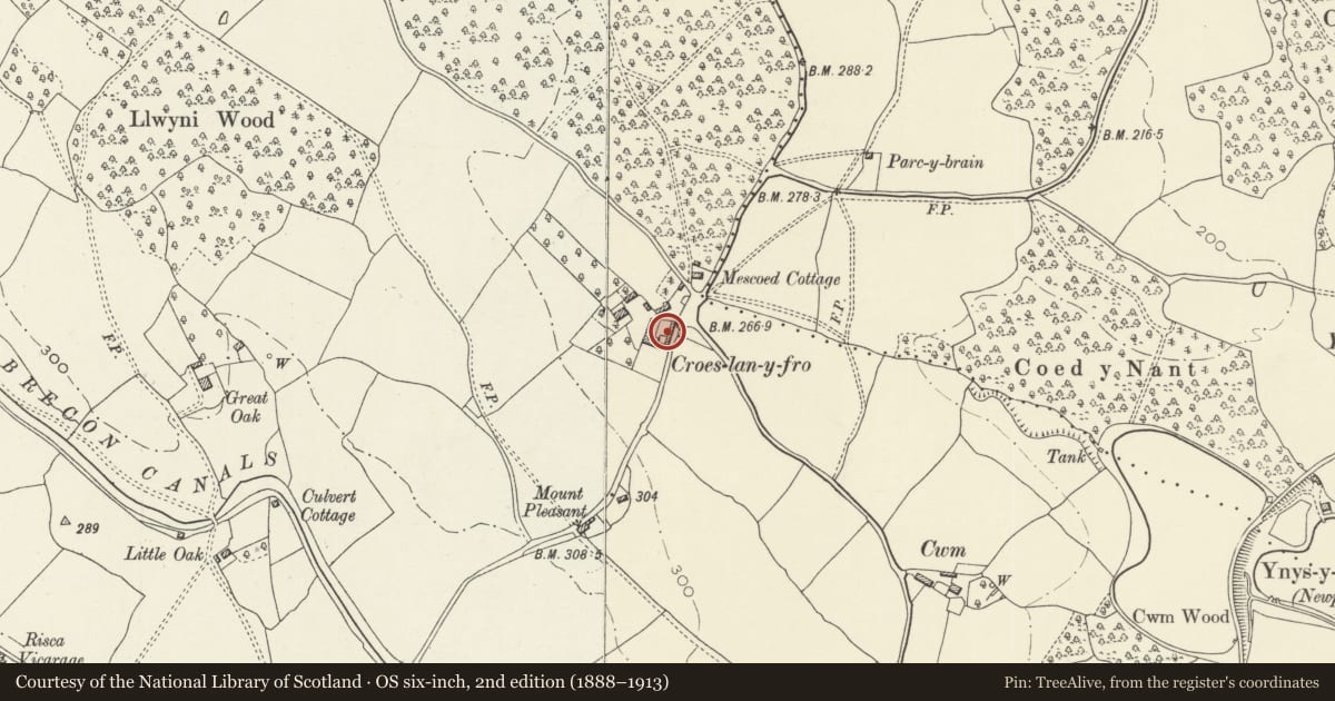
David Rumsey Map Collection, Stanford LibrariesDavid Rumsey Map Collection, Stanford LibrariesDavid Rumsey Map Collection, Stanford LibrariesDavid Rumsey Map Collection, Stanford LibrariesDavid Rumsey Map Collection, Stanford Libraries
5 historical maps cover this location, the earliest the 1636 map "Cornubia : Devonia, Somersetus, Dorcestria, Wiltonia, Glocestria ..." (David Rumsey Map Collection, Stanford Libraries).
Historical maps covering this location
- 1636 · Cornubia : Devonia, Somersetus, Dorcestria, Wiltonia, Glocestria ... (David Rumsey Map Collection, Stanford Libraries)
- 1865 · England and Wales. England No. 6. (David Rumsey Map Collection, Stanford Libraries)
- 1895 · Sheet 11. Ordnance Survey of England and Wales. (David Rumsey Map Collection, Stanford Libraries)
- 1906 · 249 Newport (Hills) (David Rumsey Map Collection, Stanford Libraries)
- 1913 · Sheet 102. Newport. (David Rumsey Map Collection, Stanford Libraries)
Cadw's description
Location
On the N side of Rogerstone just W of the junction of Groes Road and Cwm Lane.
History
C19 farm range now heavily altered.
Exterior
Heavily altered C19 single storey range that encloses third side of yard at Croesllanfro Farm.
Single storey range of outbuildings now stables, altered in C20 in rendered blockwork. Originally of rubble stone. Front wall of upper range now all of rendered blockwork with 4 C20 stable doors each with window to left. Rubble stone only to outermost piers, ends of gable walls. Next range is lower, rendered with small window left and right and door to right of left window. Lowest section has rendered wall to left, and 2 broad full height openings with timber post between. Added C20 double garage beyond.
Reason for designation
Listed for group value with the barn and opposite range.
Nearby in the register
- Barn and attached range at Croesllanfro FarmAgriculture and Subsistenceunder 1 mi
- Croesllanfro HouseDomesticunder 1 mi
- Canal Bridge over Monmouthshire and Brecon Canal, Groes RoadNo class recordedunder 1 mi
- Canal Bridge over Monmouthshire and Brecon Canal N of Little OakNo class recordedunder 1 mi
Other entries of the same register within about three miles of this one, by straight line.