Cof Cymru: National Historic Assets of Wales · Wales
Garden Wall
Llandaff, Cardiff, Wales
A Grade II listed building in Llandaff, Cardiff, designated on 30 June 2003.
The record
- Designation
- Listed building, Grade II
- Broad class
- Domestic
- Date of designation
- 30 June 2003
- Locality
- Llandaff
- Town
- Cardiff
- Community
- Llandaff
- Unitary authority
- Cardiff
- Country
- Wales
- Coordinates
- 51.49496, -3.21858
- Cadw reference
- 81265
Slide toward Today to fade the historical sheet and see the modern map underneath.
David Rumsey Map Collection, Stanford LibrariesDavid Rumsey Map Collection, Stanford LibrariesDavid Rumsey Map Collection, Stanford LibrariesDavid Rumsey Map Collection, Stanford LibrariesDavid Rumsey Map Collection, Stanford Libraries
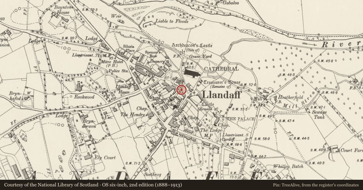
5 historical maps cover this location, the earliest the 1636 map "Cornubia : Devonia, Somersetus, Dorcestria, Wiltonia, Glocestria ..." (David Rumsey Map Collection, Stanford Libraries).
Historical maps covering this location
- 1636 · Cornubia : Devonia, Somersetus, Dorcestria, Wiltonia, Glocestria ... (David Rumsey Map Collection, Stanford Libraries)
- 1637 · The fourth table of England. Cornub. Devonia, Somerset etc. (David Rumsey Map Collection, Stanford Libraries)
- 1865 · England and Wales. England No. 6. (David Rumsey Map Collection, Stanford Libraries)
- 1898 · 263 Cardiff (Hills) (David Rumsey Map Collection, Stanford Libraries)
- 1913 · Sheet 110. Cardiff & Mouth of the Severn. (David Rumsey Map Collection, Stanford Libraries)
Cadw's description
Location
Running along The Cathedral Green frontage of No 1.
History
Probably c1863, contemporary with St. Mary's, and designed as part of the ensemble by John Prichard.
Exterior
Wall of multi-coloured local rubblestone, with a triangular coping, about 1.5m in height.
Reason for designation
Included for group value as a part of the setting for the other listed buildings on The Cathedral Green.
Nearby in the register
- The City CrossReligious, Ritual and Funeraryunder 1 mi
- Nos. 1&2 St. Mary'sDomesticunder 1 mi
- 3 The Cathedral GreenDomesticunder 1 mi
- Garden Wall of Nos. 1 & 2 White HouseDomesticunder 1 mi
Other entries of the same register within about three miles of this one, by straight line.