Cof Cymru: National Historic Assets of Wales · Wales
Flight of Steps and Retaining Wall of East (Bowling Green) Terrace at Insole Court
Llandaff, Cardiff, Wales
A Grade II listed building in Llandaff, Cardiff, designated on 30 June 2003.
The record
- Designation
- Listed building, Grade II
- Broad class
- Domestic
- Date of designation
- 30 June 2003
- Locality
- Llandaff
- Town
- Cardiff
- Community
- Llandaff
- Unitary authority
- Cardiff
- Country
- Wales
- Coordinates
- 51.49174, -3.22437
- Cadw reference
- 81262
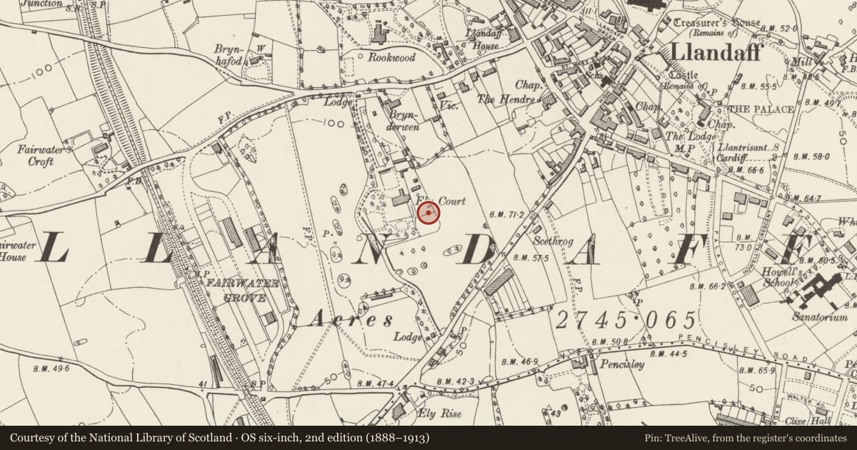
Slide toward Today to fade the historical sheet and see the modern map underneath.
David Rumsey Map Collection, Stanford LibrariesDavid Rumsey Map Collection, Stanford LibrariesDavid Rumsey Map Collection, Stanford LibrariesDavid Rumsey Map Collection, Stanford LibrariesDavid Rumsey Map Collection, Stanford Libraries
5 historical maps cover this location, the earliest the 1636 map "Cornubia : Devonia, Somersetus, Dorcestria, Wiltonia, Glocestria ..." (David Rumsey Map Collection, Stanford Libraries).
Historical maps covering this location
- 1636 · Cornubia : Devonia, Somersetus, Dorcestria, Wiltonia, Glocestria ... (David Rumsey Map Collection, Stanford Libraries)
- 1637 · The fourth table of England. Cornub. Devonia, Somerset etc. (David Rumsey Map Collection, Stanford Libraries)
- 1865 · England and Wales. England No. 6. (David Rumsey Map Collection, Stanford Libraries)
- 1898 · 263 Cardiff (Hills) (David Rumsey Map Collection, Stanford Libraries)
- 1913 · Sheet 110. Cardiff & Mouth of the Severn. (David Rumsey Map Collection, Stanford Libraries)
Cadw's description
Location
On the south side of the house and part of the important group of estate buildings surrounding Insole Court.
History
This probably dates from the late 1870s when the gardens were extended. It was included in the description of the gardens in the Gardeners' Chronicle in May 1882.
Exterior
Retaining wall to the bowling-green/tennis lawn built of squared coursed limestone with dressed coping. The wall rises to about 1m above the lawn and has a stepped section to the wall-head on either side of a central flight of steps to the lower garden. This has twelve steps and is flanked by arcaded ramped balustrading with square piers at top and bottom. These have moulded bases, alternate vermiculated and reeded blocks, wreathed Ionic capitals and one retains its ball finial.
Reason for designation
Included for group value as part of the garden and estate buildings of a significant Victorian mansion with a chequered history.
Nearby in the register
- Llandaff Sub-Control CentreNo class recordedunder 1 mi
- Terrace Wall in Garden to south of Insole CourtDomesticunder 1 mi
- Flight of Steps from Upper to Lower Terrace at Insole CourtNo class recordedunder 1 mi
- Insole CourtInstitutionalunder 1 mi
Other entries of the same register within about three miles of this one, by straight line.