Cof Cymru: National Historic Assets of Wales · Wales
Pencarreg War Memorial
Pencarreg, Carmarthenshire, Wales
A Grade II listed building in Ram, Pencarreg, Carmarthenshire, designated on 23 June 2003.
The record
- Designation
- Listed building, Grade II
- Broad class
- Commemorative
- Date of designation
- 23 June 2003
- Locality
- Ram
- Community
- Pencarreg
- Unitary authority
- Carmarthenshire
- Country
- Wales
- Coordinates
- 52.10151, -4.06050
- Cadw reference
- 81236
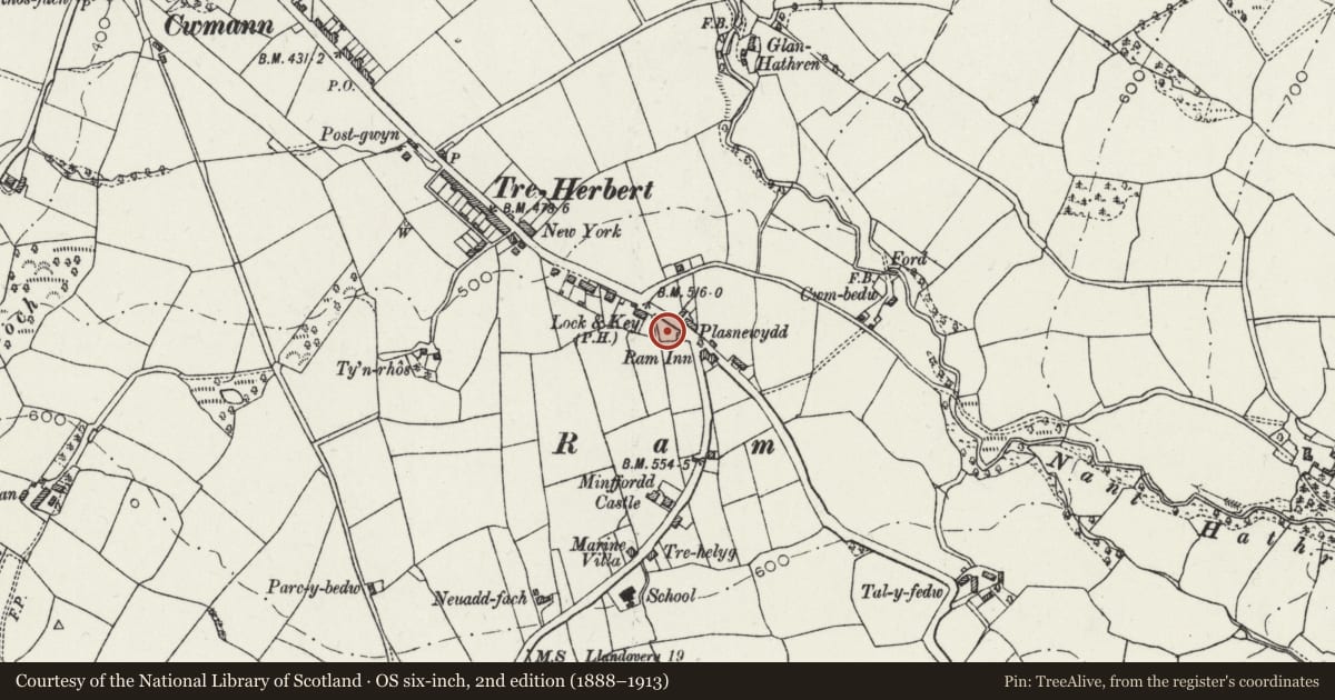
Slide toward Today to fade the historical sheet and see the modern map underneath.
David Rumsey Map Collection, Stanford LibrariesDavid Rumsey Map Collection, Stanford LibrariesDavid Rumsey Map Collection, Stanford LibrariesDavid Rumsey Map Collection, Stanford LibrariesDavid Rumsey Map Collection, Stanford Libraries
5 historical maps cover this location, the earliest the 1608 map "(13) Cambriae Typus." (David Rumsey Map Collection, Stanford Libraries).
Historical maps covering this location
- 1608 · (13) Cambriae Typus. (David Rumsey Map Collection, Stanford Libraries)
- 1830 · V.3:11-15:XV. Britisches Reich. A. Kon: England. b. Frstenthum Wales: Shire: 37-40 (David Rumsey Map Collection, Stanford Libraries)
- 1899 · 195 Lampeter (Hills) (David Rumsey Map Collection, Stanford Libraries)
- 1901 · Sheet 14. (David Rumsey Map Collection, Stanford Libraries)
- 1919 · Sheet 78. Lampeter. (David Rumsey Map Collection, Stanford Libraries)
Cadw's description
Location
Set back from the road to the NW of Ram Inn.
Exterior
A sculpted memorial on a freestone plinth and tall polished red-granite base. The plinth has red-granite inscription panels added post 1945. The tapering base has gold-lettered inscriptions, and above it is a freestone cornice, acting as a base for the Portland stone figure of an infantryman.
Reason for designation
Listed for its social-historical interest and as a fine memorial sculpture.
Nearby in the register
- Ram InnCommercialunder 1 mi
- Lampeter PillboxPillboxunder 1 mi
- Capel SoarReligious, Ritual and Funerary1 mi
- 17 Harford SquareDomestic1 mi
Other entries of the same register within about three miles of this one, by straight line.