Cof Cymru: National Historic Assets of Wales · Wales
Lychgate of St Melangell's Church
Llangynog, Powys, Wales
A Grade II listed building in Cwm Pennant, Llangynog, Powys, designated on 23 May 2003.
The record
- Designation
- Listed building, Grade II
- Broad class
- Religious, Ritual and Funerary
- Date of designation
- 23 May 2003
- Locality
- Cwm Pennant
- Community
- Llangynog
- Unitary authority
- Powys
- Country
- Wales
- Coordinates
- 52.82738, -3.44944
- Cadw reference
- 81052
Slide toward Today to fade the historical sheet and see the modern map underneath.
David Rumsey Map Collection, Stanford LibrariesDavid Rumsey Map Collection, Stanford LibrariesLlyfrgell Genedlaethol Cymru – The National Library of WalesDavid Rumsey Map Collection, Stanford LibrariesDavid Rumsey Map Collection, Stanford Libraries
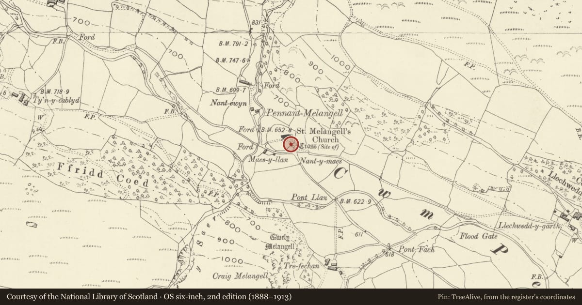
5 historical maps cover this location, the earliest the 1608 map "(13) Cambriae Typus." (David Rumsey Map Collection, Stanford Libraries).
Historical maps covering this location
- 1608 · (13) Cambriae Typus. (David Rumsey Map Collection, Stanford Libraries)
- 1795 · To Sir Watkin Williams-Wynn Bart ... the map of the six counties of North Wales is most… (Llyfrgell Genedlaethol Cymru – The National Library of Wales)
- 1883 · Watershed map England, Wales 3. (David Rumsey Map Collection, Stanford Libraries)
- 1899 · 136 Bala (Hills) (David Rumsey Map Collection, Stanford Libraries)
- 1901 · Sheet 9 and 10. (David Rumsey Map Collection, Stanford Libraries)
Cadw's description
Location
At the south of the churchyard of St Melangell's church, Pennant Melangell. Stile at west side.
History
Dated on the authority of both Archdeacon Thomas and Dr Ralegh Radford, who appear to have seen a date on the structure, as 1632, though the evidence has apparently not been recorded. Carved stones belonging to the shrine of St Melangell in the church were removed during 1989-92 for use in the reconstruction of the shrine.
Exterior
A lychgate of uncoursed local slate masonry, the front and rear arches both brought to an approximately rounded form with corbelling at each side and a short lintel. The front opening has cyclopean jambs; one upright jamb at rear. Oak rafters and slate roof with tile ridge, both gables with slate coping resting upon roughly corbelled kneelers.
Slate side benches. Corbelled shelves at top of walls. Decorative iron gates at inner archway only. Recent slate plaque on front gable, concealing point where stones for the St Melangell shrine were recovered.
Reason for designation
A fine example of a C17 vernacular lychgate at the entrance to the grade I listed church of St Melangell; listed for group value also.
Nearby in the register
- Church of St MelangellReligious, Ritual and Funeraryunder 1 mi
- Old Nant-ewyn cottage with pigsties and privyAgriculture and Subsistenceunder 1 mi
- Agricultural range east of Blaen-y-cwm farmhouseAgriculture and Subsistenceunder 1 mi
- Tyn-y-CablydDomesticunder 1 mi
Other entries of the same register within about three miles of this one, by straight line.