Cof Cymru: National Historic Assets of Wales · Wales
Multi-purpose farm building at Pantyfen Isaf
Llanfihangel-ar-Arth, Carmarthenshire, Wales
A Grade II listed building in Llanfihangel ar Arth, Carmarthenshire, designated on 13 March 2003.
The record
- Designation
- Listed building, Grade II
- Broad class
- Agriculture and Subsistence
- Date of designation
- 13 March 2003
- Locality
- Llanfihangel ar Arth
- Community
- Llanfihangel-ar-Arth
- Unitary authority
- Carmarthenshire
- Country
- Wales
- Coordinates
- 52.03546, -4.24321
- Cadw reference
- 81000
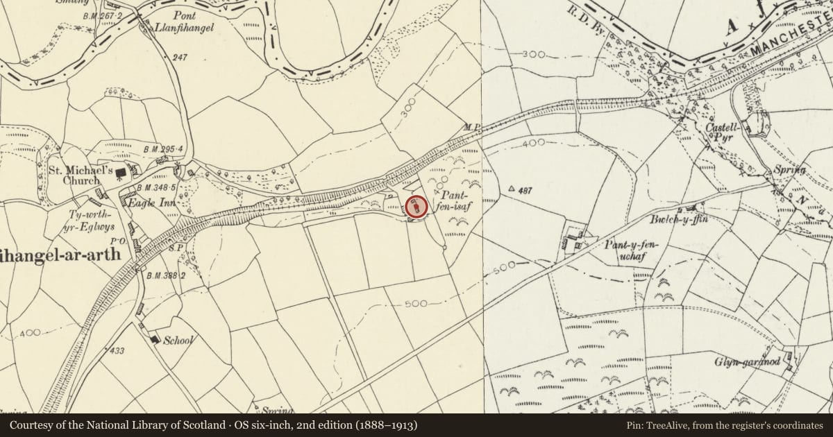
Slide toward Today to fade the historical sheet and see the modern map underneath.
David Rumsey Map Collection, Stanford LibrariesDavid Rumsey Map Collection, Stanford LibrariesDavid Rumsey Map Collection, Stanford LibrariesDavid Rumsey Map Collection, Stanford LibrariesDavid Rumsey Map Collection, Stanford Libraries
5 historical maps cover this location, the earliest the 1830 map "V.3:11-15:XV. Britisches Reich. A. Kon: England. b. Frstenthum Wales: Shire: 37-40" (David Rumsey Map Collection, Stanford Libraries).
Historical maps covering this location
- 1830 · V.3:11-15:XV. Britisches Reich. A. Kon: England. b. Frstenthum Wales: Shire: 37-40 (David Rumsey Map Collection, Stanford Libraries)
- 1860 · 41. Caermathen. (David Rumsey Map Collection, Stanford Libraries)
- 1891 · Sheet 10. Ordnance Survey of England and Wales. . (David Rumsey Map Collection, Stanford Libraries)
- 1898 · 211 Newcastle Emlyn (Hills) (David Rumsey Map Collection, Stanford Libraries)
- 1901 · Sheet 14. (David Rumsey Map Collection, Stanford Libraries)
Cadw's description
Location
On the NE side of the farmhouse.
History
A multi-purpose building incorporating a barn, stable and granary, built in the third quarter of the C19 and shown on the 1889 Ordnance Survey.
Exterior
A farm building of limewashed rubble stone and slate roof, built on a sloping site. Openings have wooden lintels, except the winnowing door to the centre which has a concrete lintel. To its L are 2 doorways with boarded doors and a replaced window, probably originally a stable. In the uphill gable end are stone steps to a granary doorway, with replaced half-glazed door. The rear has a wood-lintelled winnowing doorway.
Interior
Not inspected.
Reason for designation
Listed as a well-preserved C19 multi-purpose farm building and as part of a well-preserved group with the house.
Nearby in the register
- Pantyfen IsafDomesticunder 1 mi
- Inscribed Stone & Early Gravestones in St Michael's ChurchInscribed Stoneunder 1 mi
- Church of St MichaelReligious, Ritual and Funeraryunder 1 mi
- Castell PyrPromontory Fort - inlandunder 1 mi
Other entries of the same register within about three miles of this one, by straight line.