Cof Cymru: National Historic Assets of Wales · Wales
Pistyll y Ceunant Bridge
Llanwddyn, Powys, Wales
A Grade II listed building in Lake Vyrnwy, Llanwddyn, Powys, designated on 26 February 2003.
The record
- Designation
- Listed building, Grade II
- Broad class
- Transport
- Date of designation
- 26 February 2003
- Locality
- Lake Vyrnwy
- Community
- Llanwddyn
- Unitary authority
- Powys
- Country
- Wales
- Coordinates
- 52.77425, -3.49227
- Cadw reference
- 80920
Slide toward Today to fade the historical sheet and see the modern map underneath.
David Rumsey Map Collection, Stanford LibrariesDavid Rumsey Map Collection, Stanford LibrariesLlyfrgell Genedlaethol Cymru – The National Library of WalesDavid Rumsey Map Collection, Stanford LibrariesDavid Rumsey Map Collection, Stanford Libraries
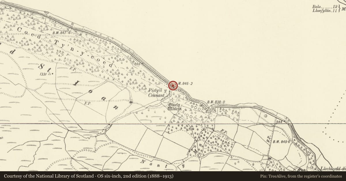
5 historical maps cover this location, the earliest the 1608 map "(13) Cambriae Typus." (David Rumsey Map Collection, Stanford Libraries).
Historical maps covering this location
- 1608 · (13) Cambriae Typus. (David Rumsey Map Collection, Stanford Libraries)
- 1795 · To Sir Watkin Williams-Wynn Bart ... the map of the six counties of North Wales is most… (Llyfrgell Genedlaethol Cymru – The National Library of Wales)
- 1883 · Watershed map England, Wales 3. (David Rumsey Map Collection, Stanford Libraries)
- 1899 · 136 Bala (Hills) (David Rumsey Map Collection, Stanford Libraries)
- 1901 · Sheet 9 and 10. (David Rumsey Map Collection, Stanford Libraries)
Cadw's description
Location
On the south lakeside road 2.7 km from the Vyrnwy Dam.
History
One of a series of bridges erected over side streams for the 17-km Lake Vyrnwy perimeter road, c.1890. Straddles the pool at the foot of Pistyll y Ceunant.
Exterior
A single-arch bridge with a span of about 12 m, faced in sneck-coursed, rock-faced masonry, although the
interior of the arch appears to be in brick. Voussoirs about 0.8 m in height, and a very large rock-faced
keystone projecting slightly below the intrados, but not quite touching the string course. The string
course at the base of the parapet wall and the coping are both chisel-drafted at the margins and rough-hewn.
Carriageway about 5 m wide.
Reason for designation
One of a set of bridges, in various monumental styles and evidently designed by different hands, related to
the exploitation of the Reservoir perimeter road for its touristic potential, and closely related to the
management of the Reservoir estate.
Nearby in the register
- Pont Ty-uchafTransportunder 1 mi
- Llanwddyn HospitiumGrangeunder 1 mi
- Bryn Gwyn Deserted Rural SettlementDeserted Rural Settlementunder 1 mi
- Lake Vyrnwy Straining Tower and approach bridgeWater Supply and Drainage1 mi
Other entries of the same register within about three miles of this one, by straight line.