Cof Cymru: National Historic Assets of Wales · Wales
Lake Cottage with Railings to Garden
Llanwddyn, Powys, Wales
A Grade II listed building in Llanwddyn village, Llanwddyn, Powys, designated on 26 February 2003.
The record
- Designation
- Listed building, Grade II
- Broad class
- Domestic
- Date of designation
- 26 February 2003
- Locality
- Llanwddyn village
- Community
- Llanwddyn
- Unitary authority
- Powys
- Country
- Wales
- Coordinates
- 52.75943, -3.45737
- Cadw reference
- 80916
Slide toward Today to fade the historical sheet and see the modern map underneath.
David Rumsey Map Collection, Stanford LibrariesDavid Rumsey Map Collection, Stanford LibrariesLlyfrgell Genedlaethol Cymru – The National Library of WalesDavid Rumsey Map Collection, Stanford LibrariesDavid Rumsey Map Collection, Stanford Libraries
5 historical maps cover this location, the earliest the 1608 map "(13) Cambriae Typus." (David Rumsey Map Collection, Stanford Libraries).
Historical maps covering this location
- 1608 · (13) Cambriae Typus. (David Rumsey Map Collection, Stanford Libraries)
- 1795 · To Sir Watkin Williams-Wynn Bart ... the map of the six counties of North Wales is most… (Llyfrgell Genedlaethol Cymru – The National Library of Wales)
- 1883 · Watershed map England, Wales 3. (David Rumsey Map Collection, Stanford Libraries)
- 1899 · 136 Bala (Hills) (David Rumsey Map Collection, Stanford Libraries)
- 1901 · Sheet 9 and 10. (David Rumsey Map Collection, Stanford Libraries)
Cadw's description
Location
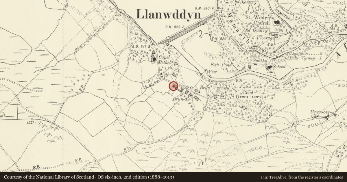
To the south side of the village street about 250 m from the south east end of the Vyrnwy Dam.
History
One of a pair of cottages which were among the first to be built in the new village of Llanwddyn following the construction of the Vyrnwy Dam, completed in 1890. These cottages appear on the Ordnance Survey plan of 1900.
Reason for designation
One of a pair of semi-detached superior workers cottages amonsgt the earliest buildings of the new Llanwddyn village, which has retained its character.
Nearby in the register
- Bryn Derwen with Railings to GardenDomesticunder 1 mi
- Telephone Call-box near Bryn VyrnwyCommunicationsunder 1 mi
- No. 5 Glyndu, LlanwddynDomesticunder 1 mi
- Bryn VyrnwyDomesticunder 1 mi
Other entries of the same register within about three miles of this one, by straight line.