Cof Cymru: National Historic Assets of Wales · Wales
Greenfield Bridge, Penydarren Tramroad
Treharris, Merthyr Tydfil, Wales
A Grade II* listed building in Quakers Yard, Merthyr Tydfil, Treharris, designated on 20 February 2003.
The record
- Designation
- Listed building, Grade II*
- Broad class
- Transport
- Date of designation
- 20 February 2003
- Locality
- Quakers Yard
- Town
- Merthyr Tydfil
- Community
- Treharris
- Unitary authority
- Merthyr Tydfil
- Country
- Wales
- Coordinates
- 51.66029, -3.31666
- Cadw reference
- 80907
Slide toward Today to fade the historical sheet and see the modern map underneath.
David Rumsey Map Collection, Stanford LibrariesDavid Rumsey Map Collection, Stanford LibrariesDavid Rumsey Map Collection, Stanford LibrariesDavid Rumsey Map Collection, Stanford LibrariesDavid Rumsey Map Collection, Stanford Libraries
5 historical maps cover this location, the earliest the 1636 map "Cornubia : Devonia, Somersetus, Dorcestria, Wiltonia, Glocestria ..." (David Rumsey Map Collection, Stanford Libraries).
Historical maps covering this location
- 1636 · Cornubia : Devonia, Somersetus, Dorcestria, Wiltonia, Glocestria ... (David Rumsey Map Collection, Stanford Libraries)
- 1637 · The fourth table of England. Cornub. Devonia, Somerset etc. (David Rumsey Map Collection, Stanford Libraries)
- 1895 · Sheet 11. Ordnance Survey of England and Wales. (David Rumsey Map Collection, Stanford Libraries)
- 1906 · 249 Newport (Hills) (David Rumsey Map Collection, Stanford Libraries)
- 1913 · Sheet 102. Newport. (David Rumsey Map Collection, Stanford Libraries)
Cadw's description
Location
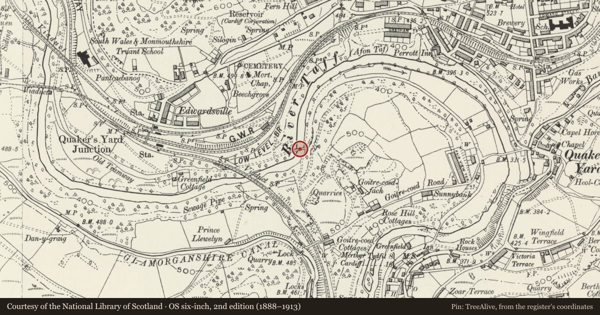
Crossing the Afon Taf some 200m NE of the railway viaduct at Quakers Yard.
History
Tramroad bridge over the River Taff built after 1815 for the Penydarren tramroad to replace a wooden bridge which collapsed 15/2/1815 when a train was passing over. The arch of 19.2m span rising 8.4m above the river is among the largest early railway bridges in the world. In poor condition 2002. Said to incorporate abutments of former bridge, but another abutment survives adjoining.
Exterior
Tramroad bridge, rubble stone, high single arch with thin cut stone voussoirs of tooled stone with raised keystones. Rubble stone parapets with cement capping. Large square abutments.
Reason for designation
Graded II* as a surviving early tramroad bridge of remarkable scale and exceptional historic interest.
Scheduled Ancient Monument Gm 359c.
Nearby in the register
- Quakers Yard Railway ViaductTransportunder 1 mi
- Victoria Bridge, Penydarren TramroadNo class recordedunder 1 mi
- Lock HouseDomesticunder 1 mi
- BerthlwydDomesticunder 1 mi
Other entries of the same register within about three miles of this one, by straight line.